Transport Functions
Multimodal
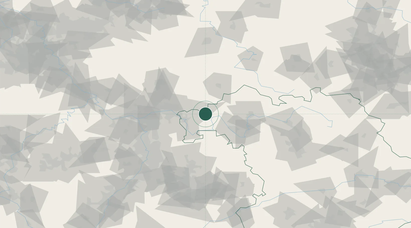
Hub Profile
Place type
Populated place
Region
Bavaria
Population
4,737
Time zone
Europe/Berlin
Elevation
228 m
Location
Nearby Logistics Neighbours
Cities
- 1Wiesthal (Unterfr)4 km
- 2Heigenbruecken7 km
- 3Rieneck12 km
- 4Lohr13 km
- 5Neuendorf am Main14 km
Airports
Trade Zones
- 1ZFU Hautepierre208 km
- 2ZFU La Cité Behren-lès-Forbach209 km
- 3ZFU Neuhof210 km
- 4Luxembourg Free Port237 km
- 5Rheinische Revier SWZ238 km
DatabookThe Record of Consolidated Knowledge
Germany beyond logistics?