Transport Functions
Port
Rail
Road
Hub Profile
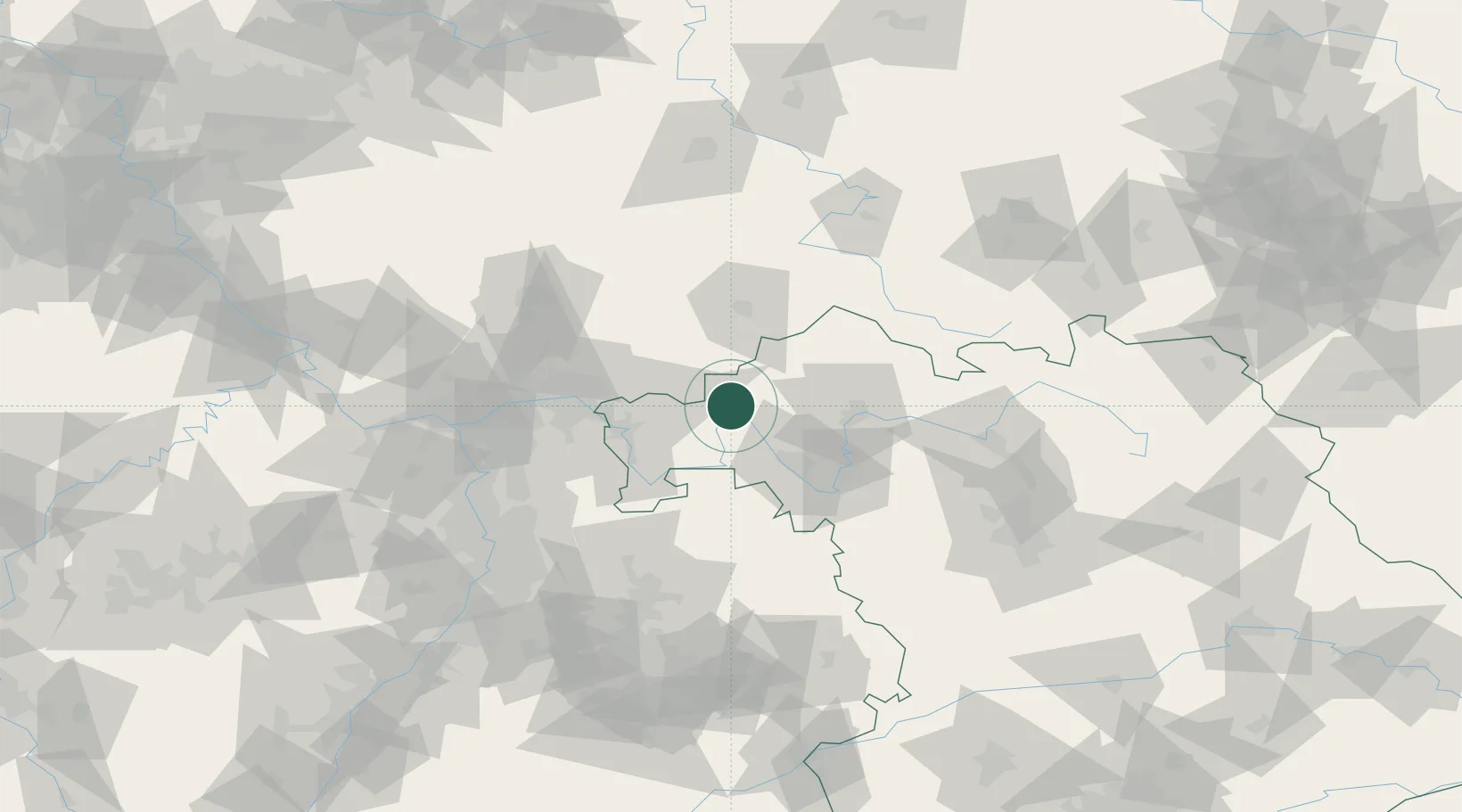
Place type
Populated place
Region
Bavaria
Population
2,147
Time zone
Europe/Berlin
Elevation
188 m
Location
Nearby Logistics Neighbours
Cities
- 1Neuendorf am Main6 km
- 2Lohr12 km
- 3Frammersbach12 km
- 4Gössenheim13 km
- 5Steinfeld15 km
Airports
Trade Zones
- 1ZFU Hautepierre217 km
- 2ZFU Neuhof219 km
- 3ZFU La Cité Behren-lès-Forbach220 km
- 4Rheinische Revier SWZ248 km
- 5Luxembourg Free Port249 km
DatabookThe Record of Consolidated Knowledge
Germany beyond logistics?