Transport Functions
Multimodal
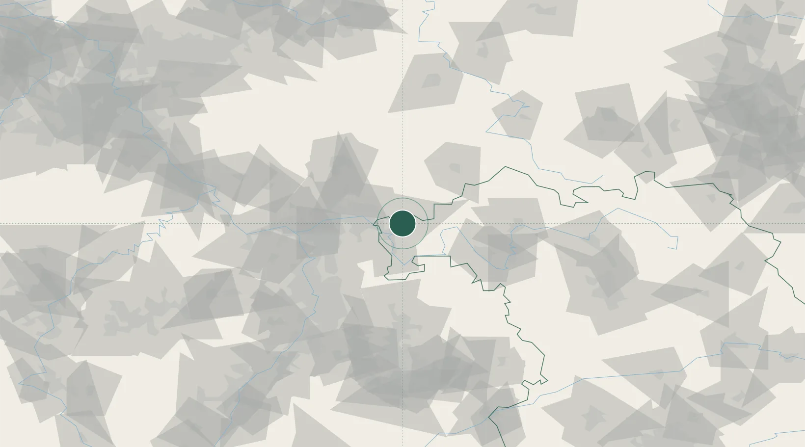
Hub Profile
Place type
Local administrative seat
Region
Bavaria
Population
1,683
Time zone
Europe/Berlin
Elevation
191 m
Location
Nearby Logistics Neighbours
Cities
- 1Mömbris5 km
- 2Johannesberg8 km
- 3Hösbach8 km
- 4Goldbach10 km
- 5Heigenbruecken11 km
Airports
- 1Frankfurt-Egelsbach Airport44 km
- 2Frankfurt Main Airport48 km
- 3Wiesbaden Army Airfield65 km
- 4Mainz-Finthen Airfield78 km
- 5Mannheim-City Airport84 km
Trade Zones
- 1ZFU La Cité Behren-lès-Forbach194 km
- 2ZFU Hautepierre198 km
- 3ZFU Neuhof200 km
- 4Luxembourg Free Port221 km
- 5Rheinische Revier SWZ223 km
DatabookThe Record of Consolidated Knowledge
Germany beyond logistics?