Transport Functions
Rail
Road
Hub Profile
Region
ST
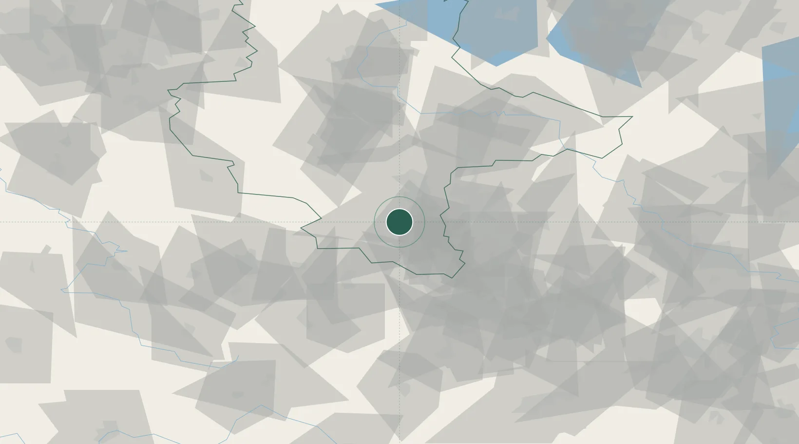
Location
Nearby Logistics Neighbours
Cities
- 1Braunsbedra4 km
- 2Grosskayna5 km
- 3Krumpa7 km
- 4Weissenfels7 km
- 5Frankleben8 km
Ports
- 1Hamburg288 km
- 2Wismar296 km
- 3Bremen299 km
- 4Lubeck304 km
- 5Lubeck-Travemunde310 km
Airports
- 1Leipzig/Halle Airport30 km
- 2Leipzig–Altenburg Airport52 km
- 3Erfurt-Weimar Airport72 km
- 4Zerbst Airfield85 km
- 5Eisenach-Kindel Airport103 km
Trade Zones
DatabookThe Record of Consolidated Knowledge
Germany beyond logistics?