Transport Functions
Rail
Road
Hub Profile
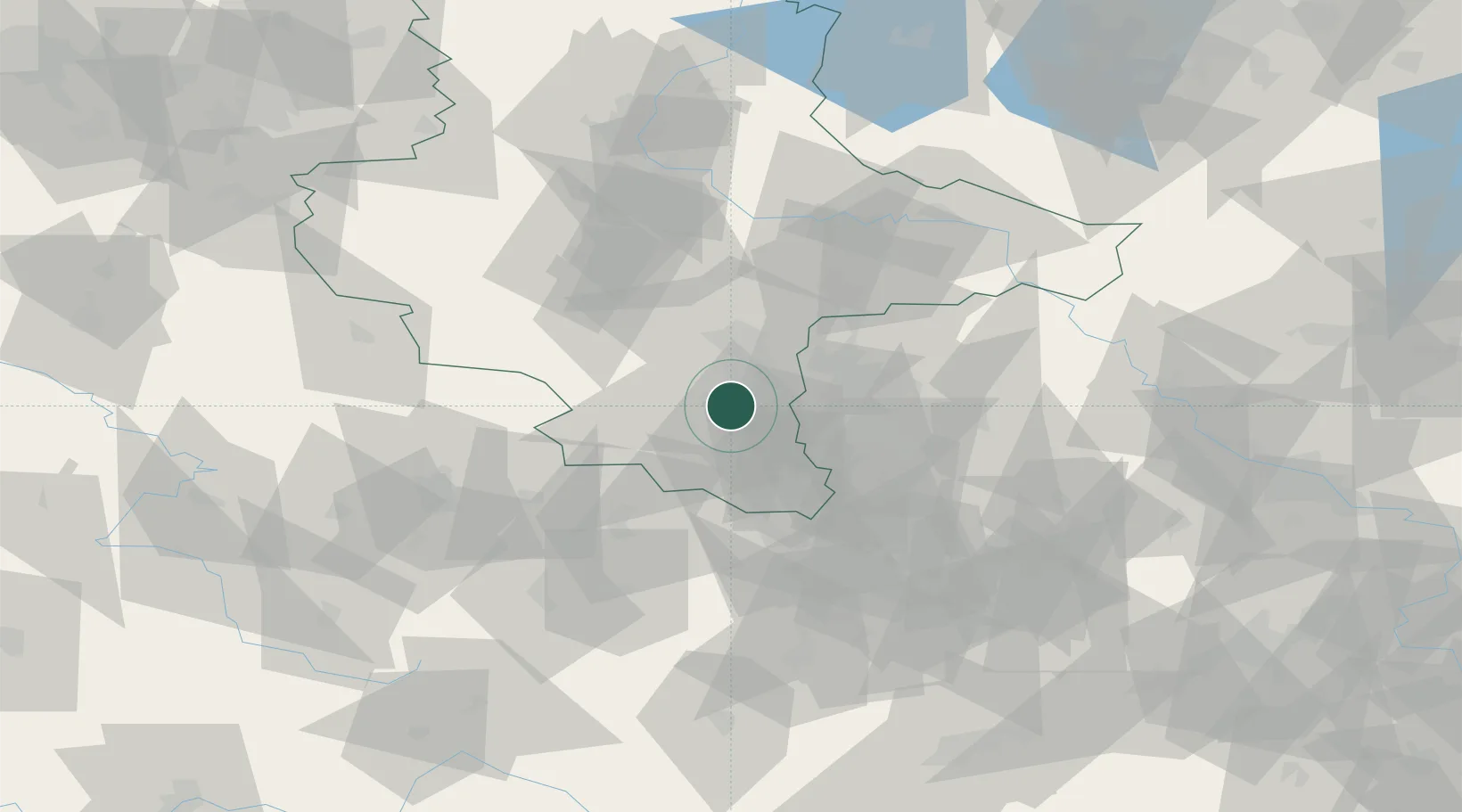
Place type
Populated place
Region
Saxony-Anhalt
Population
1,091
Time zone
Europe/Berlin
Elevation
112 m
Location
Nearby Logistics Neighbours
Cities
- 1Frankleben4 km
- 2Braunsbedra5 km
- 3Rossbach, Merseburg-Querfurt5 km
- 4Spergau6 km
- 5Bad Dürrenberg7 km
Ports
- 1Hamburg287 km
- 2Wismar293 km
- 3Bremen299 km
- 4Lubeck301 km
- 5Lubeck-Travemunde307 km
Airports
- 1Leipzig/Halle Airport25 km
- 2Leipzig–Altenburg Airport51 km
- 3Erfurt-Weimar Airport77 km
- 4Zerbst Airfield81 km
- 5Holzdorf Air Base100 km
Trade Zones
DatabookThe Record of Consolidated Knowledge
Germany beyond logistics?