Transport Functions
Port
Road
Airport
Hub Profile
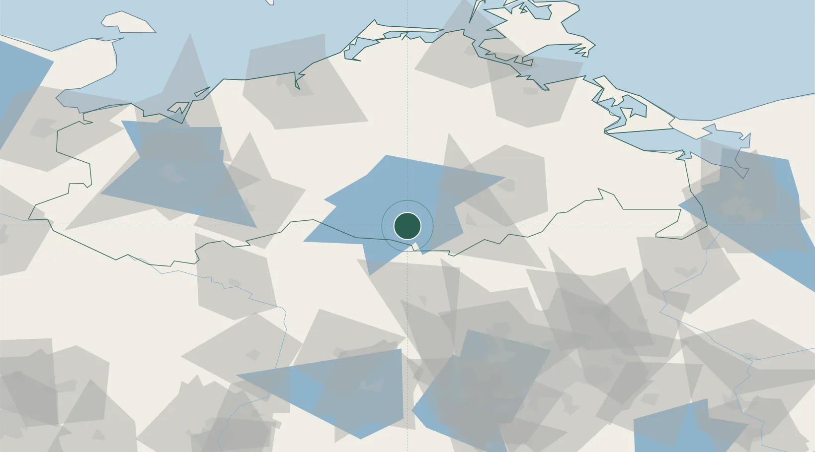
Place type
Populated place
Region
Mecklenburg-Vorpommern
Population
2,357
Time zone
Europe/Berlin
Elevation
67 m
Location
Nearby Logistics Neighbours
Cities
- 1Röbel/Müritz10 km
- 2Grosszerlang23 km
- 3Zechlinerhütte23 km
- 4Satow24 km
- 5Malchow25 km
Ports
- 1Rostock94 km
- 2Wismar104 km
- 3Wolgast106 km
- 4Stralsund112 km
- 5Swinoujscie121 km
Airports
- 1Neubrandenburg Trollenhagen Airport49 km
- 2Rostock-Laage Airport71 km
- 3Heringsdorf Airport113 km
- 4Berlin Brandenburg Airport120 km
- 5Lübeck Blankensee Airport142 km
Trade Zones
- 1Swinoujscie Duty Free Zone120 km
- 2Szczecin Duty Free Zone124 km
- 3Kostrzyń-Słubice SEZ153 km
- 4Freeport of Kiel201 km
- 5MTS Malmö Transport and Spedition254 km
DatabookThe Record of Consolidated Knowledge
Germany beyond logistics?