Transport Functions
Rail
Road
Hub Profile
Place type
Local administrative seat
Region
Baden-Wurttemberg
Population
3,209
Time zone
Europe/Berlin
Elevation
382 m
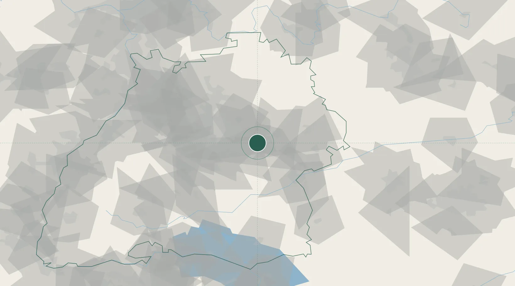
Location
Nearby Logistics Neighbours
Cities
- 1Wangen2 km
- 2Birenbach4 km
- 3Wäschenbeuren6 km
- 4Ebersbach an der Fils6 km
- 5Oberberken7 km
Ports
- 1Nogaro426 km
- 2Porto Di Lido-Venezia426 km
- 3Grado437 km
- 4Porto Di Chioggia439 km
- 5Monfalcone442 km
Airports
- 1Stuttgart Airport29 km
- 2Adolf Würth Airport45 km
- 3Laupheim Air Base61 km
- 4Niederstetten Army Air Base77 km
- 5Mengen-Hohentengen Airfield78 km
Trade Zones
- 1ZFU Neuhof138 km
- 2ZFU Hautepierre142 km
- 3ZFU Mulhouse201 km
- 4ZFU La Cité Behren-lès-Forbach202 km
- 5ZFU Belfort241 km
DatabookThe Record of Consolidated Knowledge
Germany beyond logistics?