Transport Functions
Multimodal
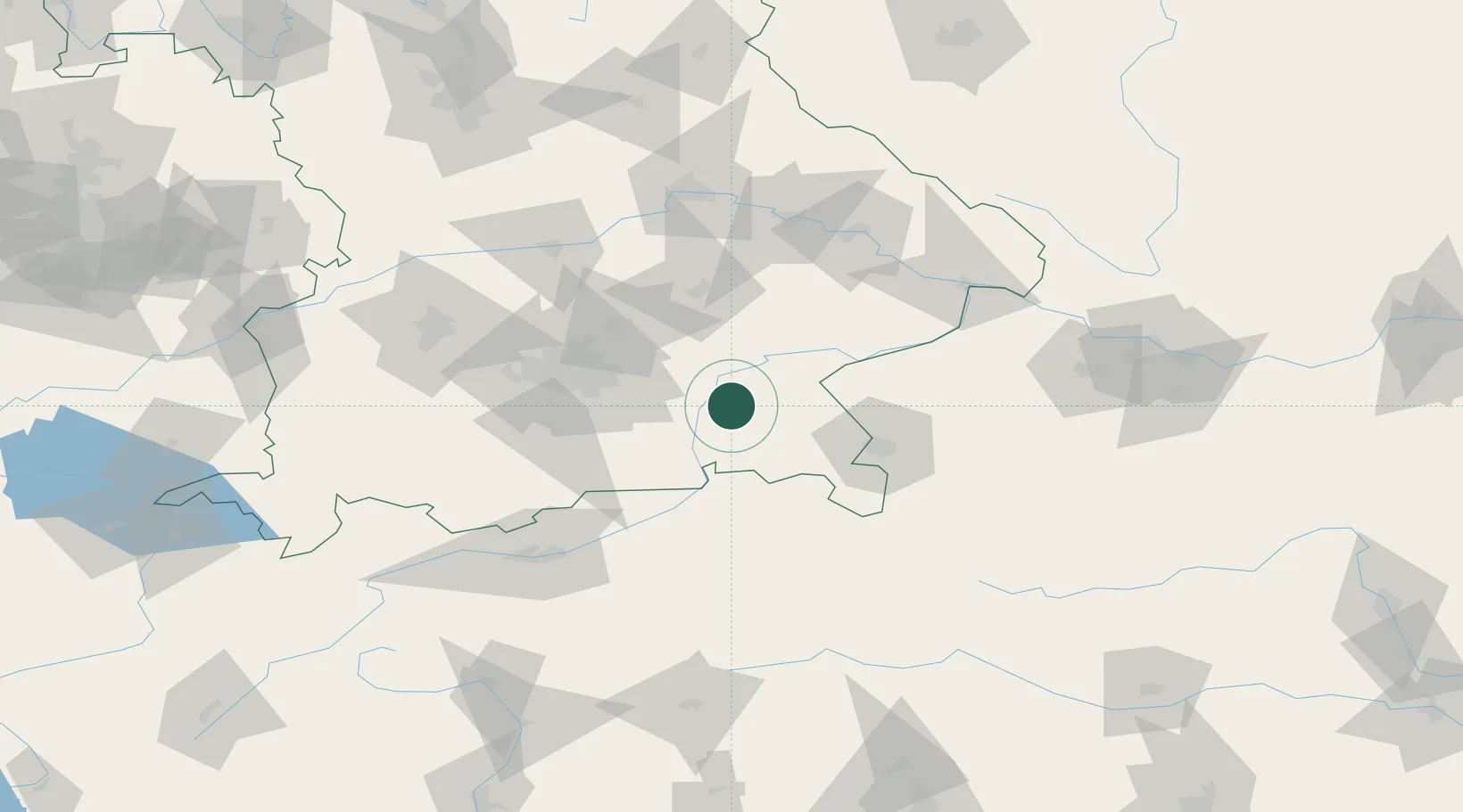
Hub Profile
Place type
Local administrative seat
Region
Bavaria
Population
3,574
Time zone
Europe/Berlin
Elevation
538 m
Location
Nearby Logistics Neighbours
Cities
- 1Hoslwang6 km
- 2Halfing6 km
- 3Bachmehring8 km
- 4Wasserburg am Inn10 km
- 5Limburg11 km
Ports
- 1Nogaro257 km
- 2Monfalcone264 km
- 3Grado267 km
- 4Trieste283 km
- 5Porto Di Lido-Venezia287 km
Airports
- 1Munich Airport56 km
- 2Salzburg Airport56 km
- 3Landshut Airfield61 km
- 4Oberpfaffenhofen Airport77 km
- 5Altstetten Ultralight Field84 km
Trade Zones
- 1Freeport of Deggendorf104 km
- 2Livigno Free Trade Zone234 km
- 3Podbořany Industrial Zone260 km
- 4Žatec - Triangle Strategic Industrial Zone280 km
- 5Free Port of Trieste284 km
DatabookThe Record of Consolidated Knowledge
Germany beyond logistics?