Transport Functions
Rail
Road
Hub Profile
Place type
Local administrative seat
Region
Bavaria
Time zone
Europe/Berlin
Elevation
478 m
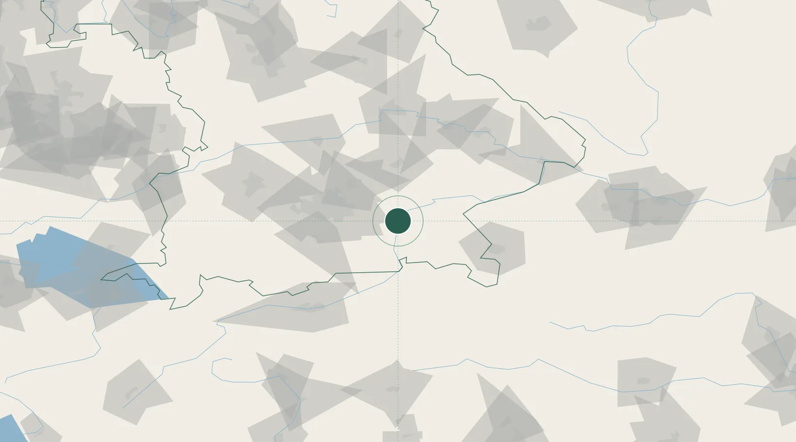
Location
Nearby Logistics Neighbours
Cities
- 1Limburg2 km
- 2Bachmehring5 km
- 3Wasserburg am Inn5 km
- 4Babensham6 km
- 5Frauenneuharting10 km
Ports
- 1Nogaro266 km
- 2Monfalcone273 km
- 3Grado275 km
- 4Trieste293 km
- 5Porto Di Lido-Venezia294 km
Airports
- 1Munich Airport44 km
- 2Landshut Airfield52 km
- 3Oberpfaffenhofen Airport66 km
- 4Salzburg Airport69 km
- 5Altstetten Ultralight Field71 km
Trade Zones
DatabookThe Record of Consolidated Knowledge
Germany beyond logistics?