UN/LOCODE hub · Germany
DEVGF

Vilgertshofen

47.9500°, 10.9167°
2,445
Population
2
Transport functions

Transport Functions

Port
Road
UN/LOCODE

Hub Profile

Place type
Local administrative seat
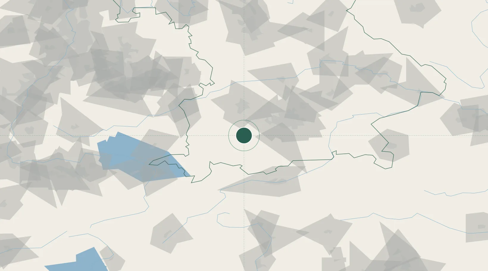
GeoNames
Region
Bavaria
GeoNames
Population
2,445
GeoNames
Time zone
Europe/Berlin
GeoNames
Elevation
703 m
GeoNames

Location

Location of DEVGF
Natural Earth 10m (public domain) · Bavaria · DEVGF · 47.95, 10.92GoogleOSMYandex

Nearby Logistics Neighbours

Cities
  1. 1Asch6 km
  2. 2Hofstetten (Landsberg)8 km
  3. 3Pürgen9 km
  4. 4Finning10 km
  5. 5Hohenfurch11 km
Nearest neighbours — logibook spatial index (haversine) over the source coordinates
Ports
  1. 1Nogaro298 km
  2. 2Porto Di Lido-Venezia305 km
  3. 3Grado309 km
  4. 4Monfalcone313 km
  5. 5Porto Di Chioggia320 km
Nearest neighbours — logibook spatial index (haversine) over the source coordinates
Airports
  1. 1Lechfeld Air Base27 km
  2. 2Oberpfaffenhofen Airport31 km
  3. 3Altstetten Ultralight Field48 km
  4. 4Memmingen Allgau Airport51 km
  5. 5Augsburg Airport53 km
Nearest neighbours — logibook spatial index (haversine) over the source coordinates
Trade Zones
  1. 1Livigno Free Trade Zone169 km
  2. 2Freeport of Deggendorf177 km
  3. 3ZFU Neuhof243 km
  4. 4ZFU Hautepierre249 km
  5. 5ZFU Mulhouse268 km
Nearest neighbours — logibook spatial index (haversine) over the source coordinates
DatabookThe Record of Consolidated Knowledge
Germany beyond logistics?
Browse databook

All Sources

LocationsUN/LOCODE
UN/LOCODE — free
LocationsGeoNames
CC BY 4.0
Portsthe NGA World Port Index
Public domain (US gov)
AirportsOurAirports
Public domain
Trade Zonesthe World Bank SEZ database
CC BY 4.0
Trade ZonesOpen Zone Map
CC BY
← Germany locations