Transport Functions
Road
Multimodal
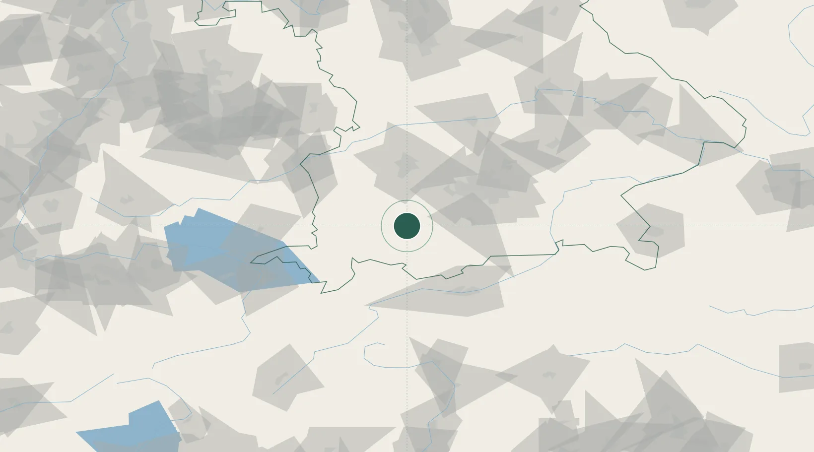
Hub Profile
Place type
Local administrative seat
Region
Bavaria
Population
1,512
Time zone
Europe/Berlin
Elevation
702 m
Location
Nearby Logistics Neighbours
Cities
- 1Altenstadt5 km
- 2Wessobrunn11 km
- 3Vilgertshofen11 km
- 4Asch12 km
- 5Peissenberg14 km
Ports
- 1Nogaro290 km
- 2Porto Di Lido-Venezia295 km
- 3Grado301 km
- 4Monfalcone306 km
- 5Porto Di Chioggia310 km
Airports
- 1Lechfeld Air Base37 km
- 2Oberpfaffenhofen Airport38 km
- 3Memmingen Allgau Airport52 km
- 4Altstetten Ultralight Field58 km
- 5Augsburg Airport64 km
Trade Zones
- 1Livigno Free Trade Zone159 km
- 2Freeport of Deggendorf185 km
- 3ZFU Neuhof245 km
- 4ZFU Hautepierre252 km
- 5ZFU Mulhouse266 km
DatabookThe Record of Consolidated Knowledge
Germany beyond logistics?