UN/LOCODE hub · Germany
DEHSJ

Steinhorst

52.6833°, 10.4000°
1,397
Population
2
Transport functions

Transport Functions

Port
Multimodal
UN/LOCODE

Hub Profile

Place type
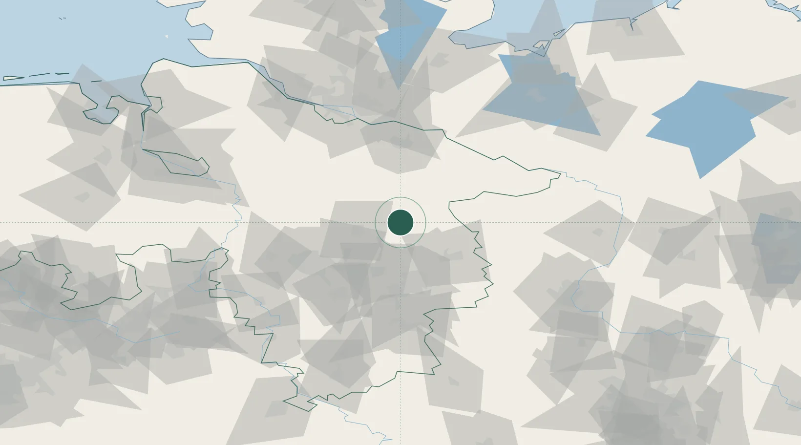
Local administrative seat
GeoNames
Region
Lower Saxony
GeoNames
Population
1,397
GeoNames
Time zone
Europe/Berlin
GeoNames
Elevation
76 m
GeoNames

Location

Location of DEHSJ
Natural Earth 10m (public domain) · Lower Saxony · DEHSJ · 52.68, 10.40GoogleOSMYandex

Nearby Logistics Neighbours

Cities
  1. 1Gross Oesingen6 km
  2. 2Schoneworde17 km
  3. 3Unterlüss20 km
  4. 4Knesebeck20 km
  5. 5Wittingen22 km
Nearest neighbours — logibook spatial index (haversine) over the source coordinates
Ports
  1. 1Hamburg101 km
  2. 2Bremen120 km
  3. 3Butzfleth123 km
  4. 4Lubeck135 km
  5. 5Gluckstadt139 km
Nearest neighbours — logibook spatial index (haversine) over the source coordinates
Airports
  1. 1Celle Army Airfield28 km
  2. 2Faßberg Air Base30 km
  3. 3Braunschweig-Wolfsburg Airport42 km
  4. 4Hannover Airport54 km
  5. 5Wunstorf Air Base70 km
Nearest neighbours — logibook spatial index (haversine) over the source coordinates
Trade Zones
  1. 1Freeport of Bremerhaven (Freihafen Bremerhaven)118 km
  2. 2Freeport of Cuxhaven (Freihafen Cuxhaven)176 km
  3. 3Freeport of Kiel184 km
  4. 4Freeport of Emden227 km
  5. 5Kostrzyń-Słubice SEZ286 km
Nearest neighbours — logibook spatial index (haversine) over the source coordinates
DatabookThe Record of Consolidated Knowledge
Germany beyond logistics?
Browse databook

All Sources

LocationsUN/LOCODE
UN/LOCODE — free
LocationsGeoNames
CC BY 4.0
Portsthe NGA World Port Index
Public domain (US gov)
AirportsOurAirports
Public domain
Trade Zonesthe World Bank SEZ database
CC BY 4.0
Trade ZonesOpen Zone Map
CC BY
← Germany locations