UN/LOCODE hub · Germany
DENNI

Gerdau

52.9667°, 10.4167°
1,614
Population
1
Transport functions

Transport Functions

Multimodal
UN/LOCODE

Hub Profile

Place type
Local administrative seat
GeoNames
Region
Lower Saxony
GeoNames
Population
1,614
GeoNames
Time zone
Europe/Berlin
GeoNames
Elevation
49 m
GeoNames

Location

Location of DENNI
Natural Earth 10m (public domain) · Lower Saxony · DENNI · 52.97, 10.42GoogleOSMYandex

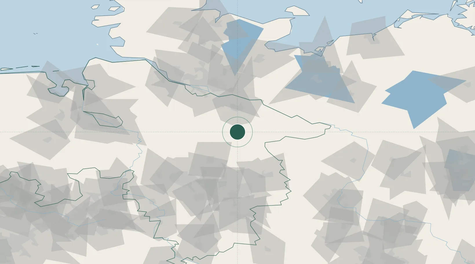
Nearby Logistics Neighbours

Cities
  1. 1Bohlsen3 km
  2. 2Uelzen9 km
  3. 3Wrestedt13 km
  4. 4Unterlüss16 km
  5. 5Bad Bevensen17 km
Nearest neighbours — logibook spatial index (haversine) over the source coordinates
Ports
  1. 1Hamburg72 km
  2. 2Butzfleth97 km
  3. 3Lubeck104 km
  4. 4Bremen112 km
  5. 5Gluckstadt113 km
Nearest neighbours — logibook spatial index (haversine) over the source coordinates
Airports
  1. 1Faßberg Air Base16 km
  2. 2Celle Army Airfield50 km
  3. 3Braunschweig-Wolfsburg Airport73 km
  4. 4Hamburg-Finkenwerder Airport74 km
  5. 5Hannover Airport75 km
Nearest neighbours — logibook spatial index (haversine) over the source coordinates
Trade Zones
  1. 1Freeport of Bremerhaven (Freihafen Bremerhaven)111 km
  2. 2Freeport of Kiel153 km
  3. 3Freeport of Cuxhaven (Freihafen Cuxhaven)155 km
  4. 4Freeport of Emden219 km
  5. 5Swinoujscie Duty Free Zone276 km
Nearest neighbours — logibook spatial index (haversine) over the source coordinates
DatabookThe Record of Consolidated Knowledge
Germany beyond logistics?
Browse databook

All Sources

LocationsUN/LOCODE
UN/LOCODE — free
LocationsGeoNames
CC BY 4.0
Portsthe NGA World Port Index
Public domain (US gov)
AirportsOurAirports
Public domain
Trade Zonesthe World Bank SEZ database
CC BY 4.0
Trade ZonesOpen Zone Map
CC BY
← Germany locations