Transport Functions
Port
Rail
Road
Hub Profile
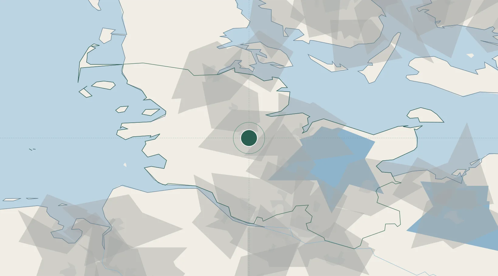
Place type
Local administrative seat
Region
Schleswig-Holstein
Population
5,213
Time zone
Europe/Berlin
Elevation
5 m
Location
Nearby Logistics Neighbours
Cities
- 1Obereiderhafen3 km
- 2Büdelsdorf4 km
- 3Audorf4 km
- 4Borgstedt6 km
- 5Bredenbek (Rendsburg)11 km
Ports
- 1Rendsburg2 km
- 2Eckernforde24 km
- 3Kiel28 km
- 4Itzehoe43 km
- 5Kappeln45 km
Airports
- 1Hohn Air Base11 km
- 2Schleswig Air Base23 km
- 3Kiel-Holtenau Airport31 km
- 4Heide-Büsum Airport54 km
- 5Uetersen-Heist Airfield71 km
Trade Zones
DatabookThe Record of Consolidated Knowledge
Germany beyond logistics?