Transport Functions
Rail
Road
Hub Profile
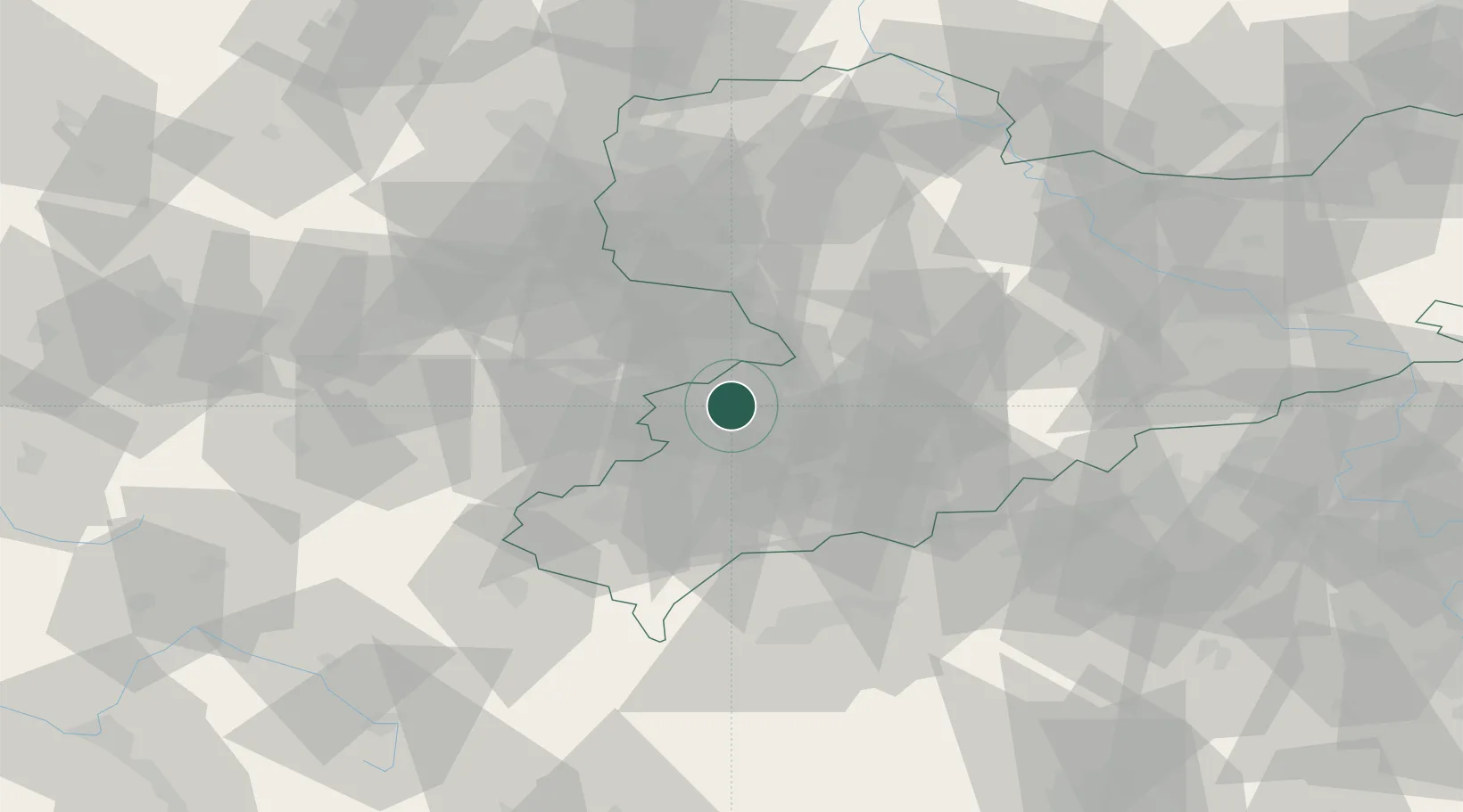
Region
SN
Location
Nearby Logistics Neighbours
Cities
- 1Mulsen6 km
- 2Lichtentanne8 km
- 3Glauchau8 km
- 4Sankt Egidien8 km
- 5Ponitz10 km
Airports
- 1Leipzig–Altenburg Airport24 km
- 2Hof-Plauen Airport69 km
- 3Karlovy Vary Airport70 km
- 4Leipzig/Halle Airport75 km
- 5Dresden Airport99 km
Trade Zones
DatabookThe Record of Consolidated Knowledge
Germany beyond logistics?