Transport Functions
Road
Multimodal
Hub Profile
Place type
Local administrative seat
Region
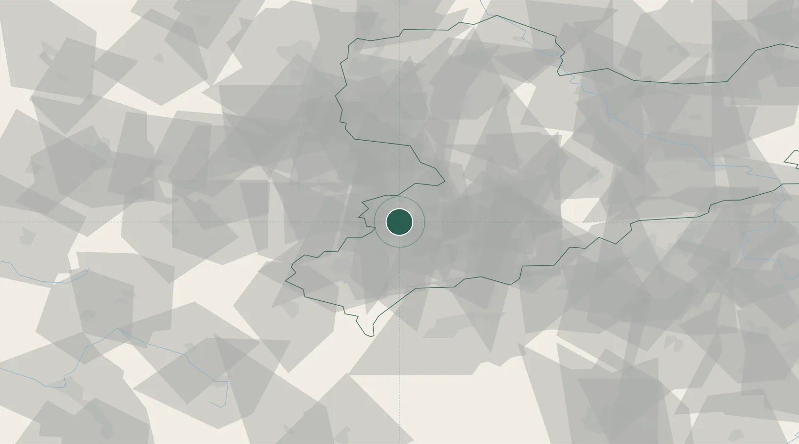
Saxony
Population
7,163
Time zone
Europe/Berlin
Elevation
325 m
Location
Nearby Logistics Neighbours
Cities
- 1Neumark7 km
- 2Crossen (Zwickauer Land)8 km
- 3Mulsen11 km
- 4Heinsdorfergrund13 km
- 5Reichenbach im Vogtland13 km
Airports
- 1Leipzig–Altenburg Airport32 km
- 2Hof-Plauen Airport62 km
- 3Karlovy Vary Airport65 km
- 4Leipzig/Halle Airport81 km
- 5Bayreuth Airport97 km
Trade Zones
DatabookThe Record of Consolidated Knowledge
Germany beyond logistics?