Transport Functions
Port
Rail
Road
Hub Profile
Place type
Populated place
Region
Lower Saxony
Time zone
Europe/Berlin
Elevation
27 m
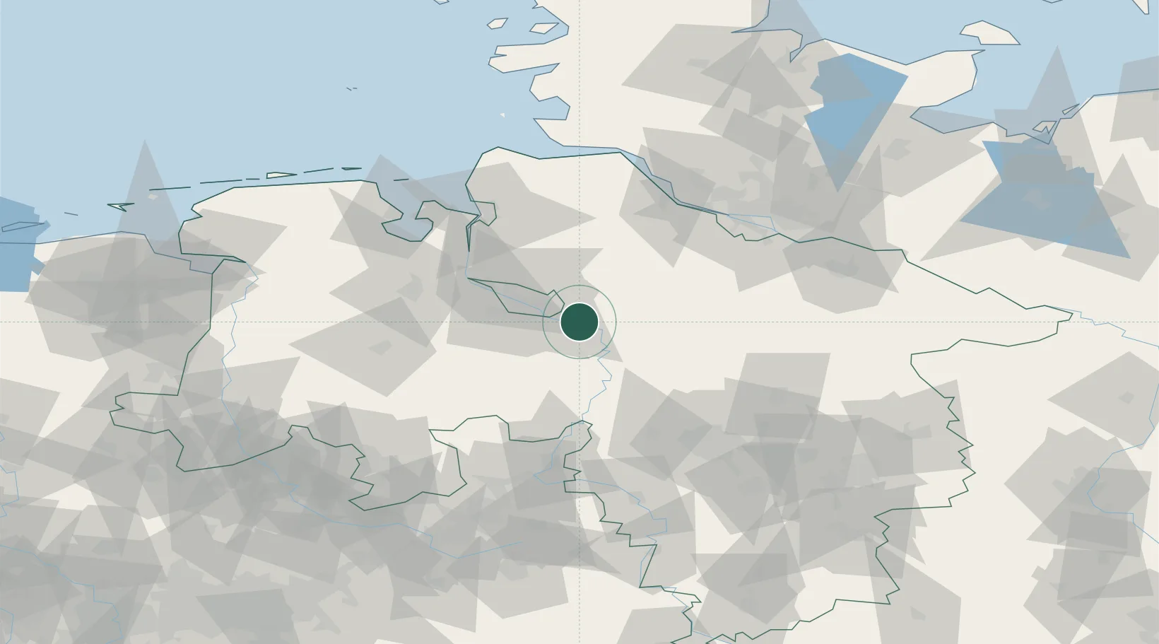
Location
Nearby Logistics Neighbours
Cities
- 1Achim5 km
- 2Thedinghausen5 km
- 3Blender10 km
- 4Langwedel11 km
- 5Ottersberg12 km
Airports
- 1Bremen Airport19 km
- 2Wunstorf Air Base65 km
- 3Diepholz Air Base67 km
- 4Hannover Airport73 km
- 5Faßberg Air Base76 km
Trade Zones
DatabookThe Record of Consolidated Knowledge
Germany beyond logistics?