Transport Functions
Rail
Road
Hub Profile
Place type
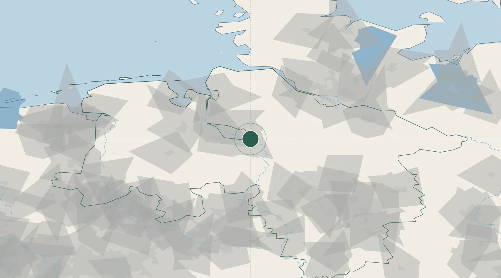
Populated place
Region
Lower Saxony
Population
30,013
Time zone
Europe/Berlin
Elevation
14 m
Location
Nearby Logistics Neighbours
Cities
- 1Uesen5 km
- 2Thedinghausen7 km
- 3Fischerhude10 km
- 4Ottersberg12 km
- 5Lilienthal13 km
Airports
- 1Bremen Airport15 km
- 2Diepholz Air Base67 km
- 3Wunstorf Air Base70 km
- 4Hannover Airport78 km
- 5Hamburg-Finkenwerder Airport78 km
Trade Zones
DatabookThe Record of Consolidated Knowledge
Germany beyond logistics?