Transport Functions
Road
Multimodal
Hub Profile
Place type
Local administrative seat
Region
Lower Saxony
Population
2,954
Time zone
Europe/Berlin
Elevation
11 m
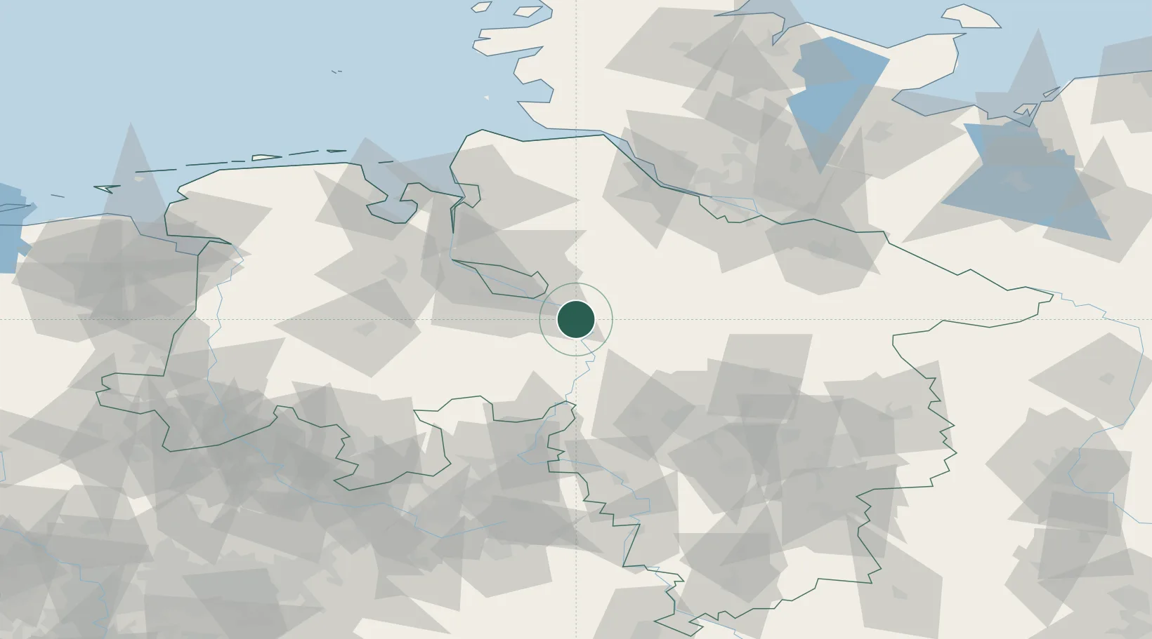
Location
Nearby Logistics Neighbours
Cities
- 1Langwedel8 km
- 2Thedinghausen10 km
- 3Dörverden10 km
- 4Uesen10 km
- 5Kirchlinteln13 km
Airports
- 1Bremen Airport27 km
- 2Wunstorf Air Base55 km
- 3Hannover Airport63 km
- 4Diepholz Air Base65 km
- 5Celle Army Airfield70 km
Trade Zones
DatabookThe Record of Consolidated Knowledge
Germany beyond logistics?