Transport Functions
Multimodal
Hub Profile
Place type
Populated place
Region
Lower Saxony
Population
14,755
Time zone
Europe/Berlin
Elevation
12 m
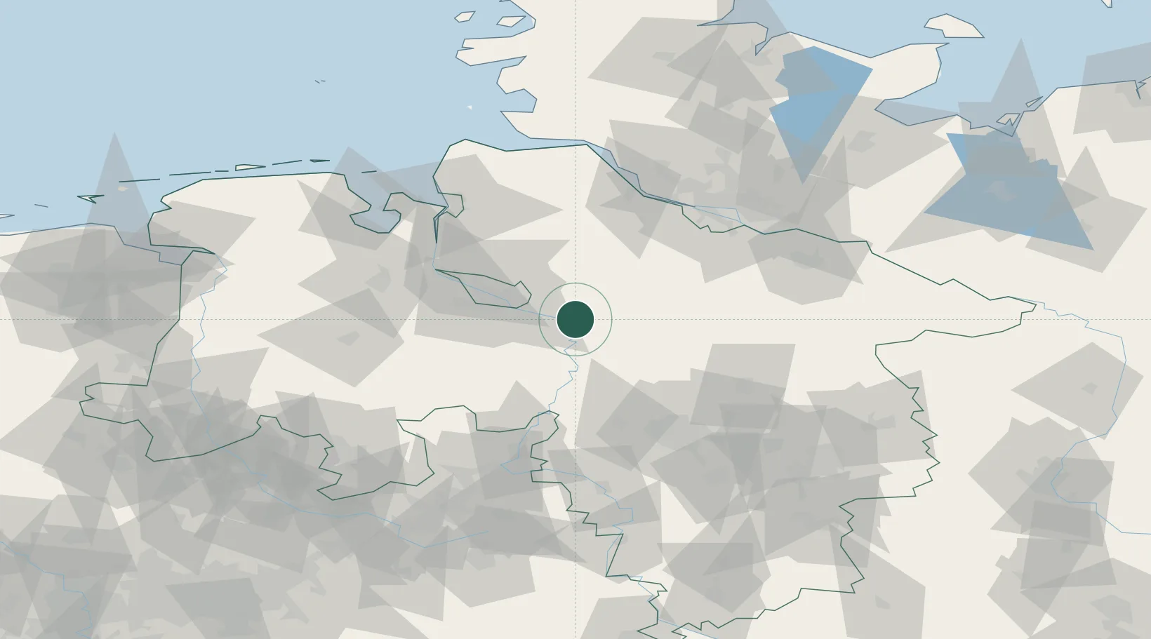
Location
Nearby Logistics Neighbours
Cities
- 1Kirchlinteln7 km
- 2Blender8 km
- 3Uesen11 km
- 4Dörverden13 km
- 5Thedinghausen13 km
Airports
- 1Bremen Airport30 km
- 2Wunstorf Air Base58 km
- 3Hannover Airport65 km
- 4Faßberg Air Base65 km
- 5Celle Army Airfield68 km
Trade Zones
DatabookThe Record of Consolidated Knowledge
Germany beyond logistics?