UN/LOCODE hub · Germany
DETHD

Thedinghausen

52.9667°, 9.0167°
4,727
Population
2
Transport functions

Transport Functions

Rail
Road
UN/LOCODE

Hub Profile

Place type
Local administrative seat
GeoNames
Region
Lower Saxony
GeoNames
Population
4,727
GeoNames
Time zone
Europe/Berlin
GeoNames
Elevation
7 m
GeoNames

Location

Location of DETHD
Natural Earth 10m (public domain) · Lower Saxony · DETHD · 52.97, 9.02GoogleOSMYandex

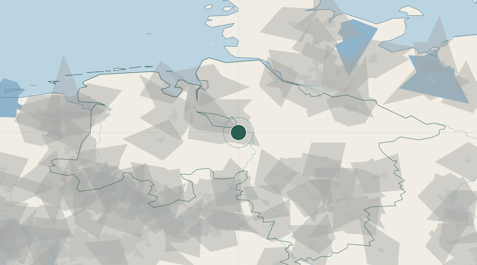
Nearby Logistics Neighbours

Cities
  1. 1Uesen5 km
  2. 2Achim7 km
  3. 3Blender10 km
  4. 4Langwedel13 km
  5. 5Bruchhausen-Vilsen15 km
Nearest neighbours — logibook spatial index (haversine) over the source coordinates
Ports
  1. 1Bremen25 km
  2. 2Elsfleth47 km
  3. 3Brake54 km
  4. 4Oldenburg56 km
  5. 5Nordenham68 km
Nearest neighbours — logibook spatial index (haversine) over the source coordinates
Airports
  1. 1Bremen Airport18 km
  2. 2Diepholz Air Base62 km
  3. 3Wunstorf Air Base63 km
  4. 4Hannover Airport72 km
  5. 5Bückeburg Air Base77 km
Nearest neighbours — logibook spatial index (haversine) over the source coordinates
Trade Zones
  1. 1Freeport of Bremerhaven (Freihafen Bremerhaven)21 km
  2. 2Freeport of Cuxhaven (Freihafen Cuxhaven)100 km
  3. 3Freeport of Emden129 km
  4. 4Freeport of Kiel170 km
  5. 5Freeport of Duisburg237 km
Nearest neighbours — logibook spatial index (haversine) over the source coordinates
DatabookThe Record of Consolidated Knowledge
Germany beyond logistics?
Browse databook

All Sources

LocationsUN/LOCODE
UN/LOCODE — free
LocationsGeoNames
CC BY 4.0
Portsthe NGA World Port Index
Public domain (US gov)
AirportsOurAirports
Public domain
Trade Zonesthe World Bank SEZ database
CC BY 4.0
Trade ZonesOpen Zone Map
CC BY
← Germany locations