Transport Functions
Multimodal
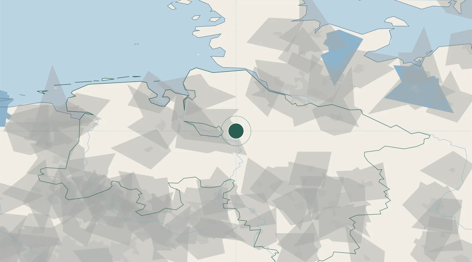
Hub Profile
Place type
Local administrative seat
Region
Lower Saxony
Population
12,205
Time zone
Europe/Berlin
Elevation
14 m
Location
Nearby Logistics Neighbours
Cities
- 1Fischerhude7 km
- 2Achim12 km
- 3Uesen12 km
- 4Tarmstedt14 km
- 5Langwedel16 km
Ports
- 1Bremen26 km
- 2Elsfleth48 km
- 3Brake51 km
- 4Bremerhaven61 km
- 5Nordenham62 km
Airports
- 1Bremen Airport25 km
- 2Hamburg-Finkenwerder Airport67 km
- 3Uetersen-Heist Airfield71 km
- 4Faßberg Air Base72 km
- 5Wunstorf Air Base74 km
Trade Zones
DatabookThe Record of Consolidated Knowledge
Germany beyond logistics?