UN/LOCODE hub · Germany
DEBQB
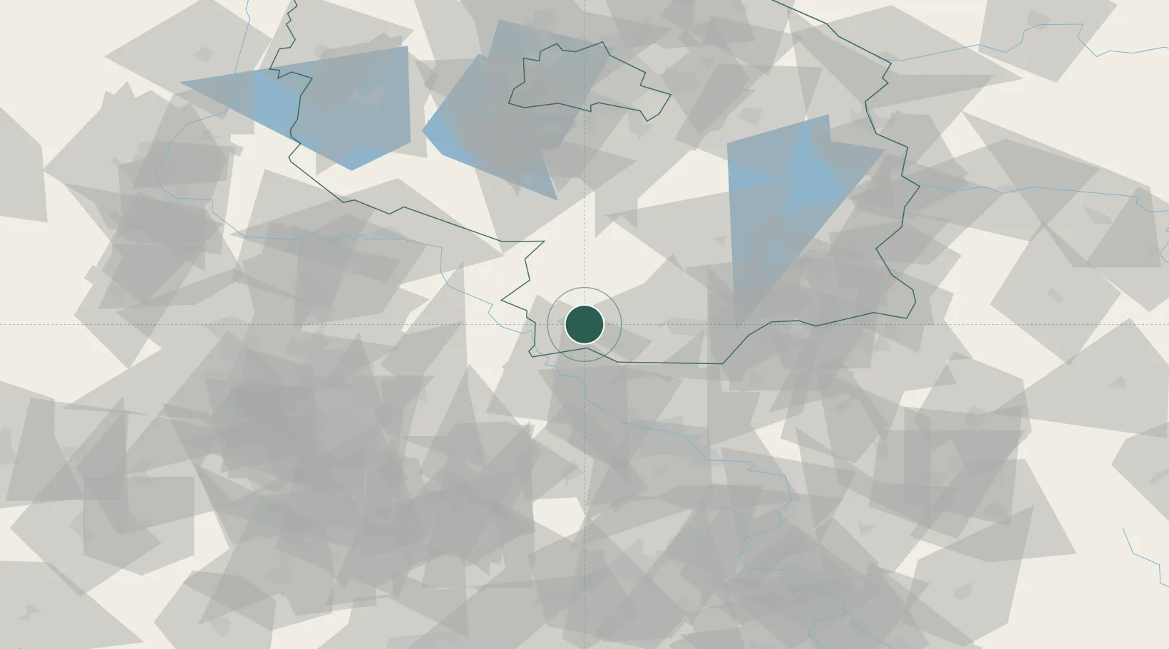
Bad Liebenwerda
51.5167°, 13.4000°
10,890
Population
1
Transport functions
Transport Functions
Multimodal
Hub Profile
Place type
Populated place
Region
Brandenburg
Population
10,890
Time zone
Europe/Berlin
Elevation
89 m
Location
Nearby Logistics Neighbours
Cities
- 1Oschätzchen6 km
- 2Elsterwerda9 km
- 3Uebigau10 km
- 4Schönborn12 km
- 5Gröditz12 km
Ports
- 1Szczecin225 km
- 2Police241 km
- 3Swinoujscie273 km
- 4Wolgast283 km
- 5Wismar295 km
Airports
- 1Holzdorf Air Base32 km
- 2Dresden Airport50 km
- 3Leipzig/Halle Airport82 km
- 4Leipzig–Altenburg Airport86 km
- 5Berlin Brandenburg Airport94 km
Trade Zones
DatabookThe Record of Consolidated Knowledge
Germany beyond logistics?