Transport Functions
Multimodal
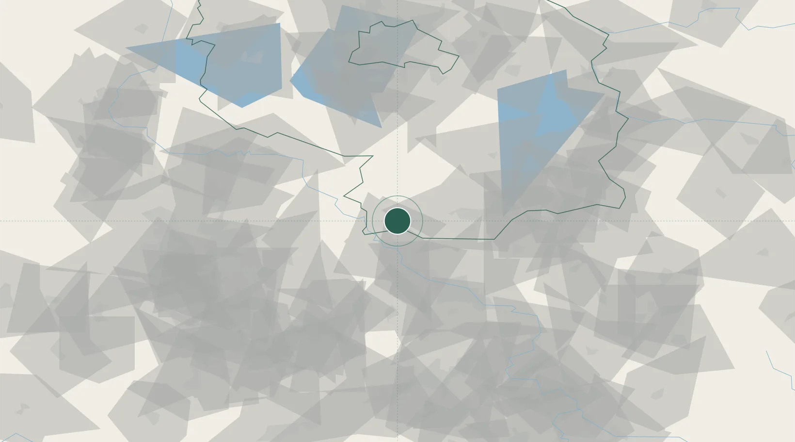
Hub Profile
Region
BB
Location
Nearby Logistics Neighbours
Cities
- 1Bad Liebenwerda6 km
- 2Gröditz7 km
- 3Elsterwerda9 km
- 4Wülknitz11 km
- 5Mühlberg12 km
Ports
- 1Szczecin231 km
- 2Police247 km
- 3Swinoujscie279 km
- 4Wolgast289 km
- 5Wismar300 km
Airports
- 1Holzdorf Air Base37 km
- 2Dresden Airport46 km
- 3Leipzig/Halle Airport80 km
- 4Leipzig–Altenburg Airport82 km
- 5Berlin Brandenburg Airport100 km
Trade Zones
DatabookThe Record of Consolidated Knowledge
Germany beyond logistics?