Transport Functions
Multimodal
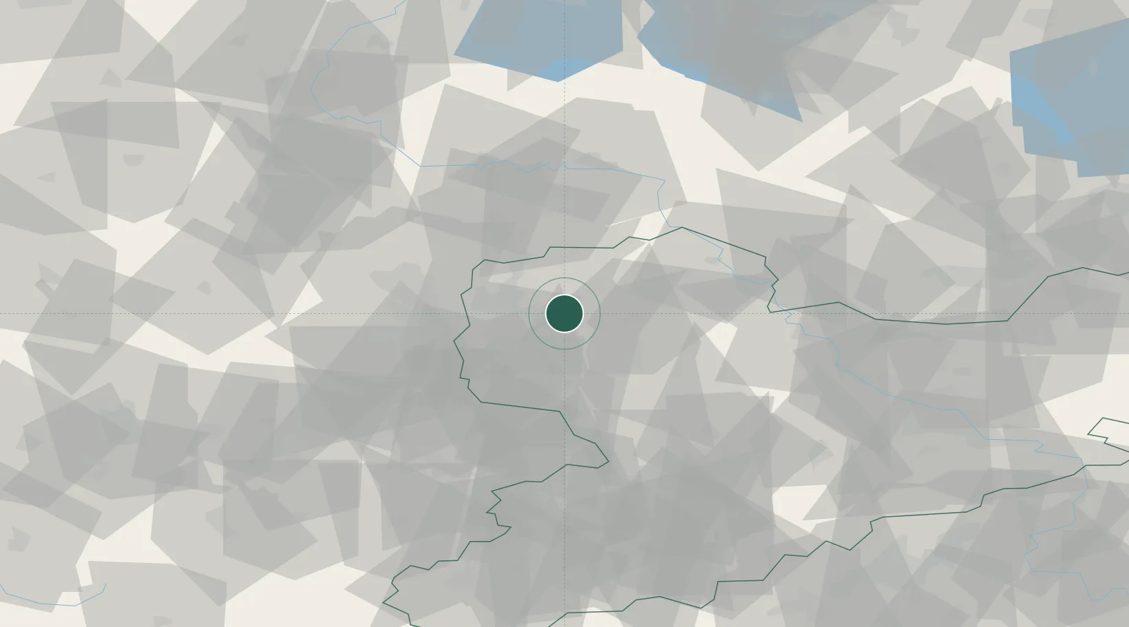
Hub Profile
Place type
Populated place
Region
Saxony
Population
14,552
Time zone
Europe/Berlin
Elevation
127 m
Location
Nearby Logistics Neighbours
Cities
- 1Borsdorf4 km
- 2Jesewitz6 km
- 3Gerichshain7 km
- 4Machern9 km
- 5Krostitz10 km
Airports
- 1Leipzig/Halle Airport19 km
- 2Leipzig–Altenburg Airport45 km
- 3Holzdorf Air Base63 km
- 4Zerbst Airfield73 km
- 5Dresden Airport93 km
Trade Zones
DatabookThe Record of Consolidated Knowledge
Germany beyond logistics?