UN/LOCODE hub · Germany
DEZBQ

Machern

51.3667°, 12.6333°
6,747
Population
1
Transport functions

Transport Functions

Multimodal
UN/LOCODE

Hub Profile

Place type
Local administrative seat
GeoNames
Region
Saxony
GeoNames
Population
6,747
GeoNames
Time zone
Europe/Berlin
GeoNames
Elevation
154 m
GeoNames

Location

Location of DEZBQ
Natural Earth 10m (public domain) · Saxony · DEZBQ · 51.37, 12.63GoogleOSMYandex

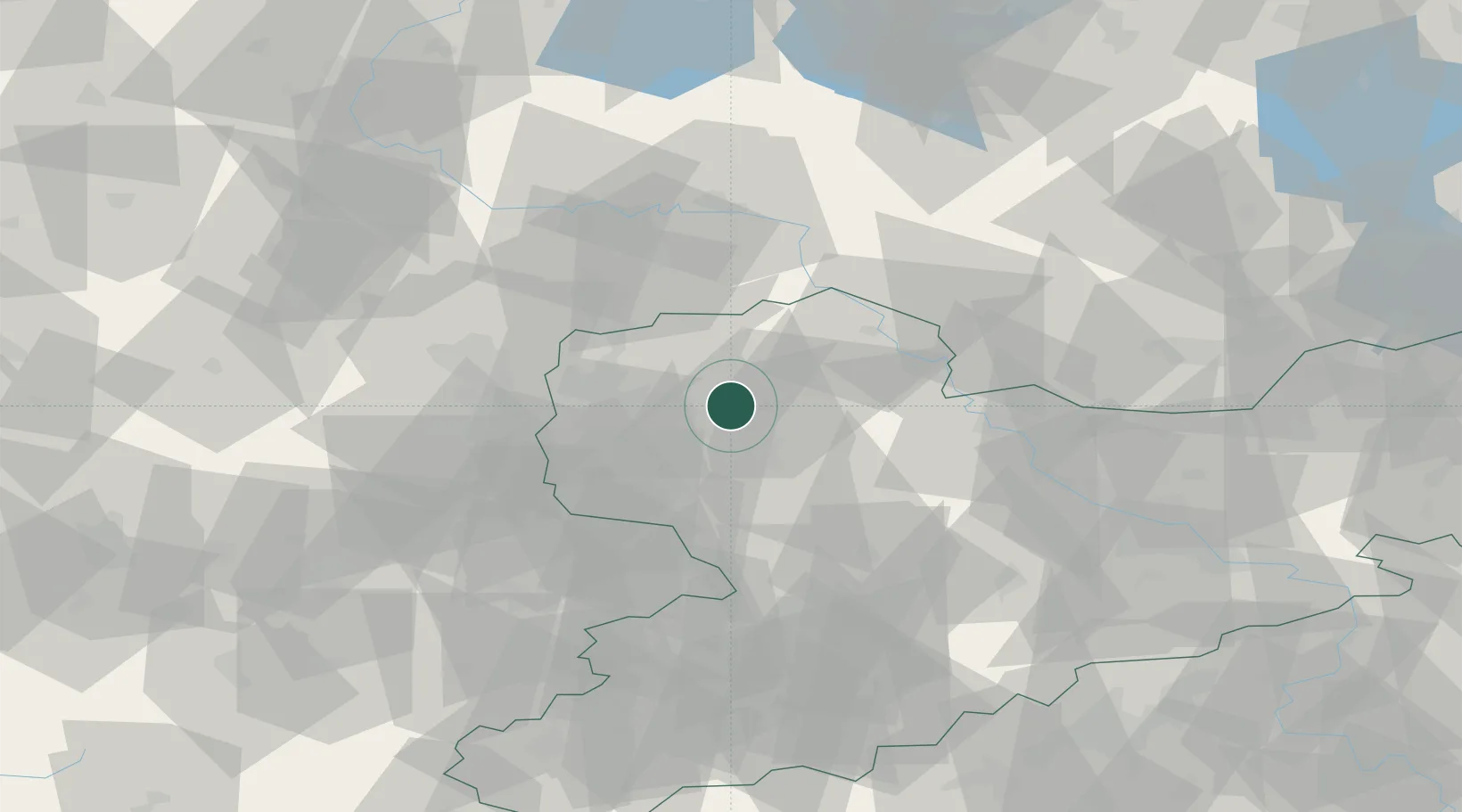
Nearby Logistics Neighbours

Cities
  1. 1Gerichshain4 km
  2. 2Bennewitz6 km
  3. 3Wurzen6 km
  4. 4Borsdorf7 km
  5. 5Thallwitz8 km
Nearest neighbours — logibook spatial index (haversine) over the source coordinates
Ports
  1. 1Szczecin262 km
  2. 2Police278 km
  3. 3Wismar293 km
  4. 4Hamburg304 km
  5. 5Swinoujscie304 km
Nearest neighbours — logibook spatial index (haversine) over the source coordinates
Airports
  1. 1Leipzig/Halle Airport28 km
  2. 2Leipzig–Altenburg Airport44 km
  3. 3Holzdorf Air Base58 km
  4. 4Zerbst Airfield78 km
  5. 5Dresden Airport83 km
Nearest neighbours — logibook spatial index (haversine) over the source coordinates
Trade Zones
  1. 1Most - Joseph Industrial Zone121 km
  2. 2Žatec - Triangle Strategic Industrial Zone125 km
  3. 3Podbořany Industrial Zone138 km
  4. 4Kostrzyń-Słubice SEZ194 km
  5. 5Legnica SEZ (Legnicka SSE)230 km
Nearest neighbours — logibook spatial index (haversine) over the source coordinates
DatabookThe Record of Consolidated Knowledge
Germany beyond logistics?
Browse databook

All Sources

LocationsUN/LOCODE
UN/LOCODE — free
LocationsGeoNames
CC BY 4.0
Portsthe NGA World Port Index
Public domain (US gov)
AirportsOurAirports
Public domain
Trade Zonesthe World Bank SEZ database
CC BY 4.0
Trade ZonesOpen Zone Map
CC BY
← Germany locations