Transport Functions
Rail
Road
Hub Profile
Place type
Local administrative seat
Region
Saxony
Population
8,489
Time zone
Europe/Berlin
Elevation
125 m
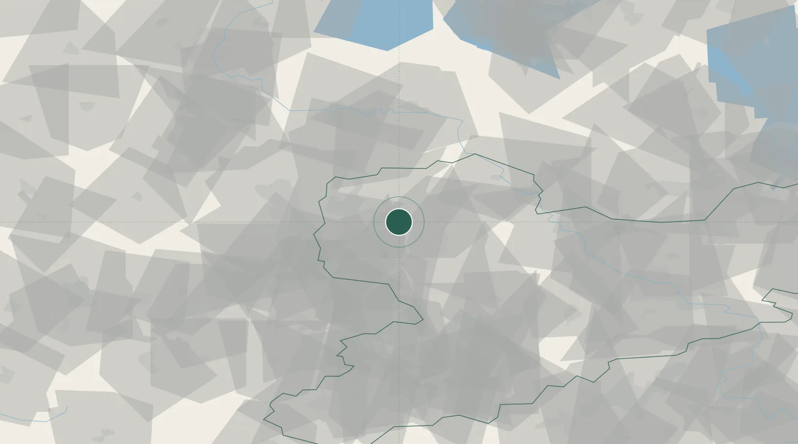
Location
Nearby Logistics Neighbours
Cities
- 1Gerichshain4 km
- 2Taucha4 km
- 3Machern7 km
- 4Jesewitz10 km
- 5Grosspösna10 km
Airports
- 1Leipzig/Halle Airport22 km
- 2Leipzig–Altenburg Airport41 km
- 3Holzdorf Air Base64 km
- 4Zerbst Airfield77 km
- 5Dresden Airport89 km
Trade Zones
DatabookThe Record of Consolidated Knowledge
Germany beyond logistics?