Transport Functions
Rail
Road
Multimodal
Hub Profile
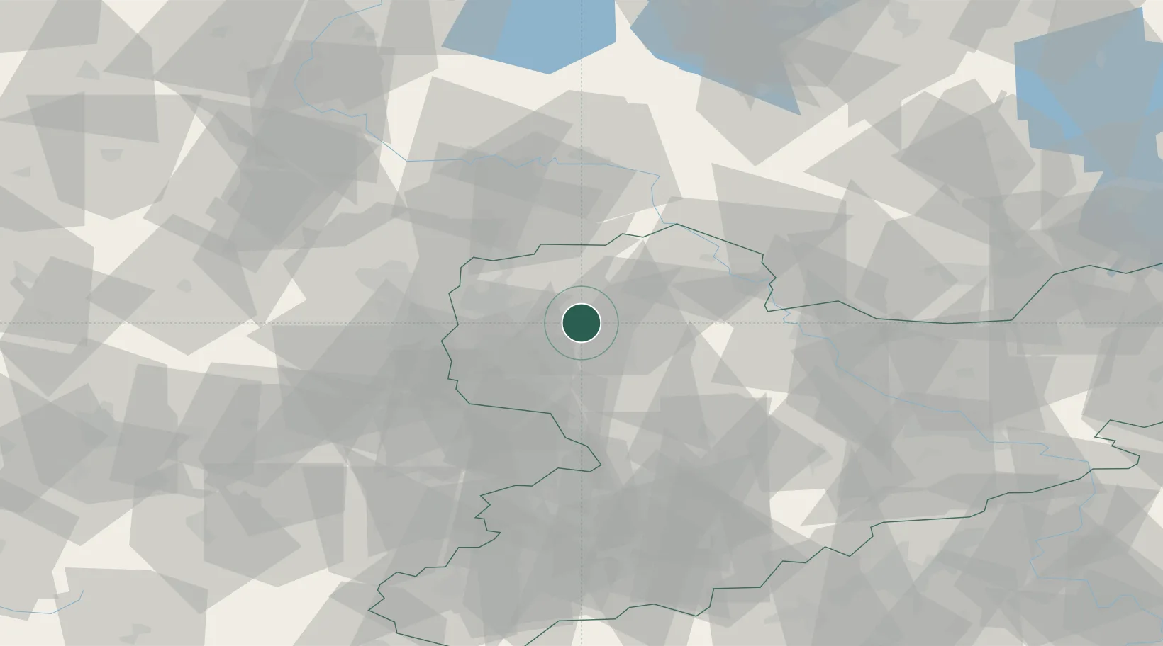
Place type
Populated place
Region
Saxony
Time zone
Europe/Berlin
Elevation
142 m
Location
Nearby Logistics Neighbours
Ports
- 1Szczecin266 km
- 2Police281 km
- 3Wismar293 km
- 4Hamburg303 km
- 5Swinoujscie307 km
Airports
- 1Leipzig/Halle Airport26 km
- 2Leipzig–Altenburg Airport41 km
- 3Holzdorf Air Base62 km
- 4Zerbst Airfield78 km
- 5Dresden Airport86 km
Trade Zones
DatabookThe Record of Consolidated Knowledge
Germany beyond logistics?