UN/LOCODE hub · Germany
DETRH
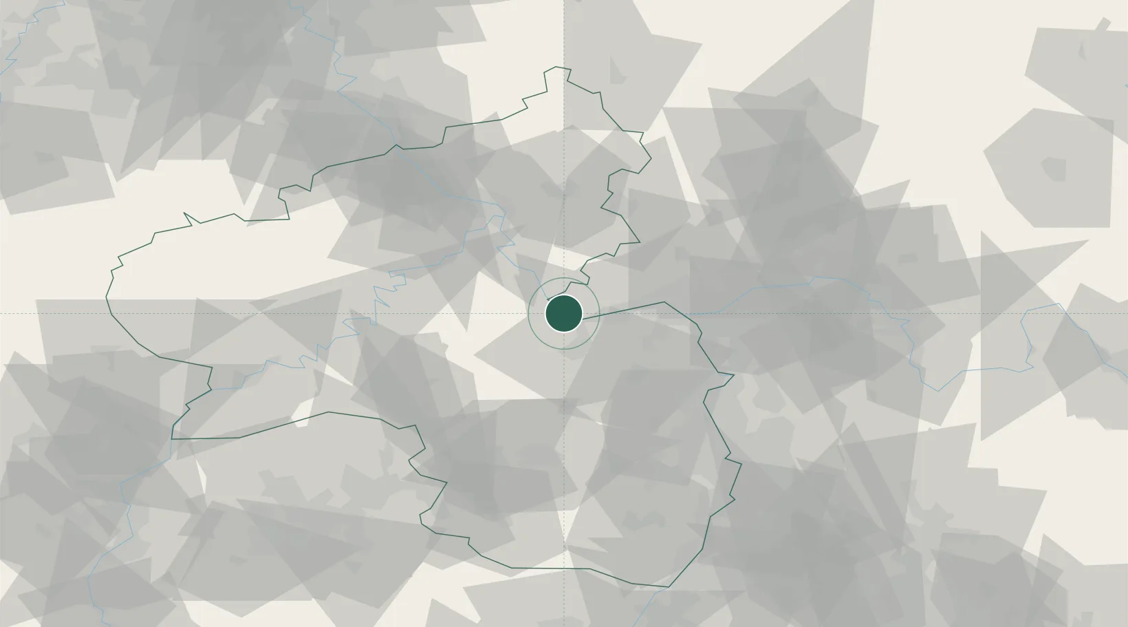
Trechtingshausen
50.0000°, 7.8333°
1,053
Population
3
Transport functions
Transport Functions
Port
Rail
Road
Hub Profile
Place type
Local administrative seat
Region
Rheinland-Pfalz
Population
1,053
Time zone
Europe/Berlin
Elevation
126 m
Location
Nearby Logistics Neighbours
Cities
- 1Oberheimbach4 km
- 2Bingen am Rhein5 km
- 3Lorch6 km
- 4Rüdesheim am Rhein6 km
- 5Münster-Sarmsheim7 km
Airports
- 1Mainz-Finthen Airfield23 km
- 2Wiesbaden Army Airfield36 km
- 3Frankfurt-Hahn Airport41 km
- 4Frankfurt Main Airport52 km
- 5Frankfurt-Egelsbach Airport58 km
Trade Zones
- 1ZFU La Cité Behren-lès-Forbach113 km
- 2Luxembourg Free Port122 km
- 3Rheinische Revier SWZ144 km
- 4ZFU Woippy-Metz154 km
- 5ZFU Metz156 km
DatabookThe Record of Consolidated Knowledge
Germany beyond logistics?