UN/LOCODE hub · Germany
DEBIN
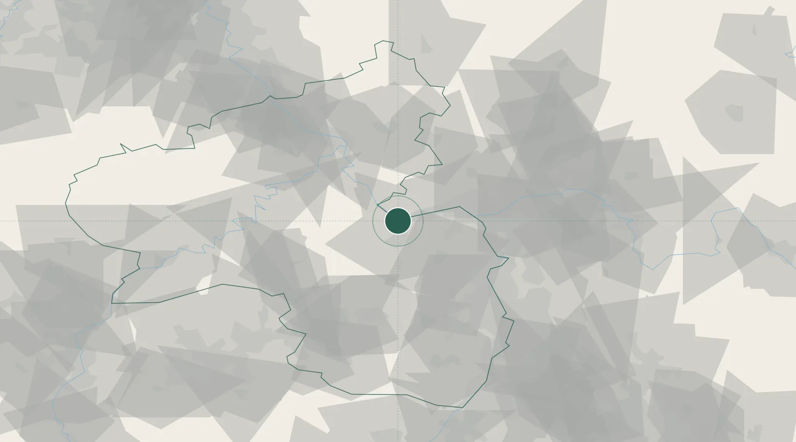
Bingen am Rhein
49.9667°, 7.8833°
24,657
Population
3
Transport functions
Transport Functions
Port
Rail
Road
Hub Profile
Place type
Populated place
Region
Rheinland-Pfalz
Population
24,657
Time zone
Europe/Berlin
Elevation
115 m
Location
Nearby Logistics Neighbours
Cities
- 1Münster-Sarmsheim2 km
- 2Rüdesheim am Rhein3 km
- 3Kempten4 km
- 4Rümmelsheim4 km
- 5Trechtingshausen5 km
Airports
- 1Mainz-Finthen Airfield19 km
- 2Wiesbaden Army Airfield33 km
- 3Frankfurt-Hahn Airport45 km
- 4Frankfurt Main Airport49 km
- 5Frankfurt-Egelsbach Airport54 km
Trade Zones
- 1ZFU La Cité Behren-lès-Forbach113 km
- 2Luxembourg Free Port125 km
- 3Rheinische Revier SWZ149 km
- 4ZFU Hautepierre153 km
- 5ZFU Woippy-Metz155 km
DatabookThe Record of Consolidated Knowledge
Germany beyond logistics?