UN/LOCODE hub · Germany
DEMNQ

Münster-Sarmsheim

49.9500°, 7.8833°
3
Transport functions

Transport Functions

Port
Rail
Road
UN/LOCODE

Hub Profile

Region
RP
GeoNames

Location

Location of DEMNQ
Natural Earth 10m (public domain) · RP · DEMNQ · 49.95, 7.88GoogleOSMYandex

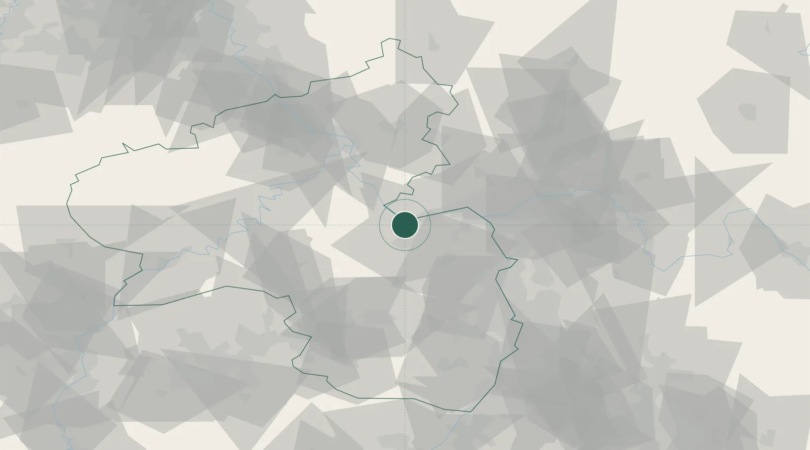
Nearby Logistics Neighbours

Cities
  1. 1Bingen am Rhein2 km
  2. 2Rümmelsheim2 km
  3. 3Laubenheim4 km
  4. 4Kempten4 km
  5. 5Rüdesheim am Rhein4 km
Nearest neighbours — logibook spatial index (haversine) over the source coordinates
Ports
  1. 1Bruxelles270 km
  2. 2Antwerpen283 km
  3. 3Dordrecht307 km
  4. 4Ghent319 km
  5. 5Hansweert320 km
Nearest neighbours — logibook spatial index (haversine) over the source coordinates
Airports
  1. 1Mainz-Finthen Airfield19 km
  2. 2Wiesbaden Army Airfield34 km
  3. 3Frankfurt-Hahn Airport45 km
  4. 4Frankfurt Main Airport49 km
  5. 5Frankfurt-Egelsbach Airport54 km
Nearest neighbours — logibook spatial index (haversine) over the source coordinates
Trade Zones
  1. 1ZFU La Cité Behren-lès-Forbach111 km
  2. 2Luxembourg Free Port124 km
  3. 3Rheinische Revier SWZ151 km
  4. 4ZFU Hautepierre151 km
  5. 5ZFU Woippy-Metz154 km
Nearest neighbours — logibook spatial index (haversine) over the source coordinates
DatabookThe Record of Consolidated Knowledge
Germany beyond logistics?
Browse databook

All Sources

LocationsUN/LOCODE
UN/LOCODE — free
Portsthe NGA World Port Index
Public domain (US gov)
AirportsOurAirports
Public domain
Trade Zonesthe World Bank SEZ database
CC BY 4.0
Trade ZonesOpen Zone Map
CC BY
← Germany locations