Transport Functions
Multimodal
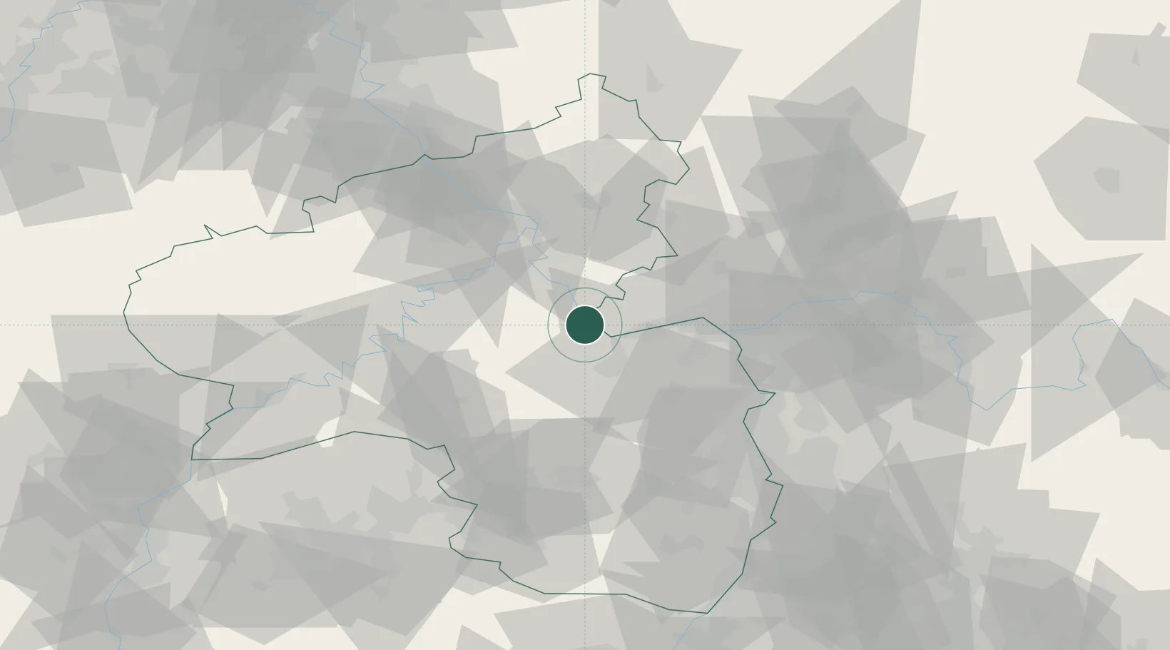
Hub Profile
Place type
Local administrative seat
Region
Rheinland-Pfalz
Population
705
Time zone
Europe/Berlin
Elevation
253 m
Location
Nearby Logistics Neighbours
Cities
- 1Bacharach4 km
- 2Lorch4 km
- 3Trechtingshausen4 km
- 4Kaub8 km
- 5Bingen am Rhein9 km
Airports
- 1Mainz-Finthen Airfield27 km
- 2Frankfurt-Hahn Airport38 km
- 3Wiesbaden Army Airfield39 km
- 4Büchel Air Base54 km
- 5Frankfurt Main Airport55 km
Trade Zones
- 1ZFU La Cité Behren-lès-Forbach113 km
- 2Luxembourg Free Port120 km
- 3Rheinische Revier SWZ140 km
- 4ZFU Woippy-Metz152 km
- 5ZFU Metz155 km
DatabookThe Record of Consolidated Knowledge
Germany beyond logistics?