UN/LOCODE hub · Germany
DELRR

Lorch

50.0500°, 7.8000°
1
Transport functions

Transport Functions

Multimodal
UN/LOCODE

Hub Profile

Place type
Populated place
GeoNames
Region
Hesse
GeoNames
Time zone
Europe/Berlin
GeoNames
Elevation
89 m
GeoNames

Location

Location of DELRR
Natural Earth 10m (public domain) · Hesse · DELRR · 50.05, 7.80GoogleOSMYandex

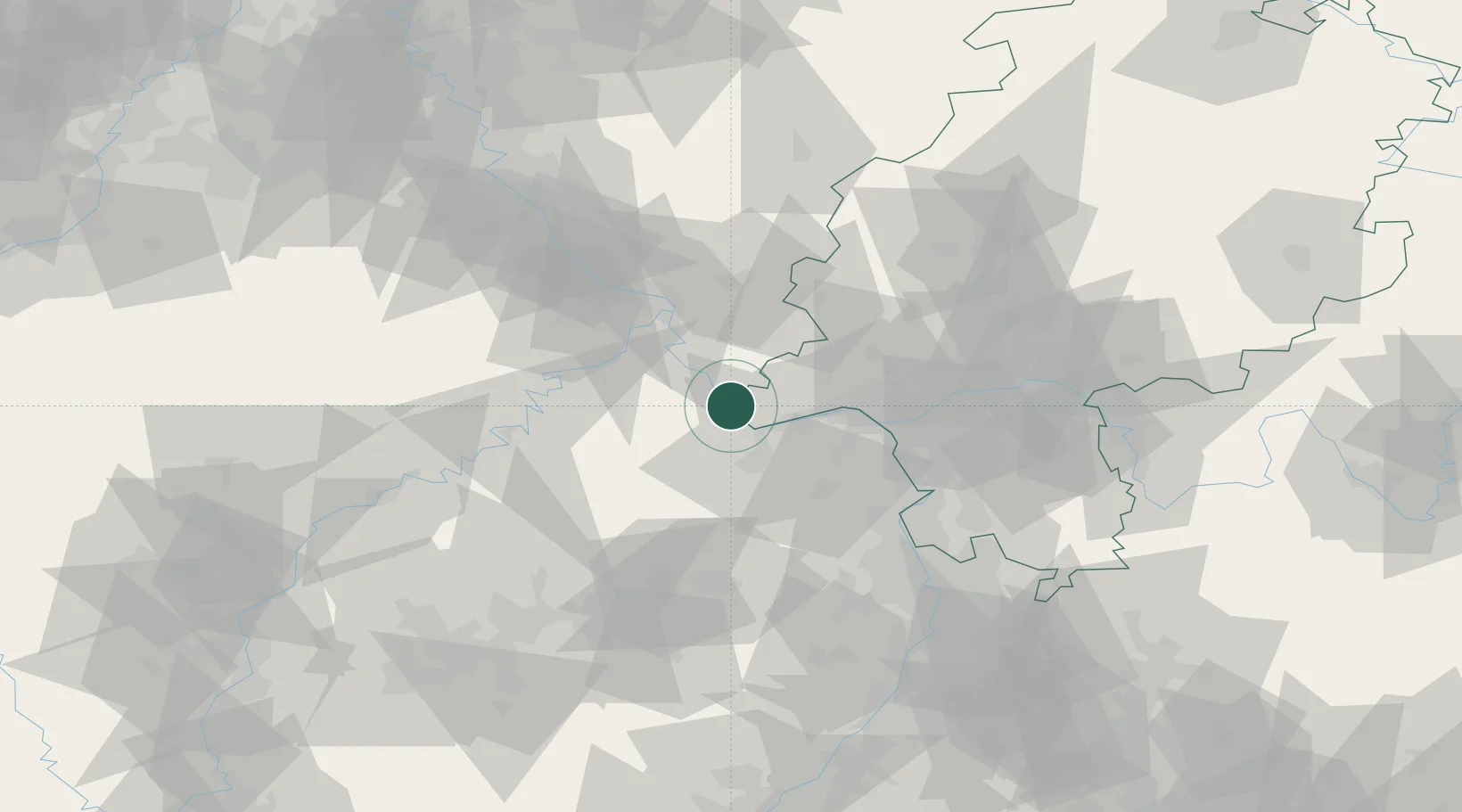
Nearby Logistics Neighbours

Cities
  1. 1Bacharach2 km
  2. 2Oberheimbach4 km
  3. 3Kaub4 km
  4. 4Trechtingshausen6 km
  5. 5Weisel7 km
Nearest neighbours — logibook spatial index (haversine) over the source coordinates
Ports
  1. 1Bruxelles261 km
  2. 2Antwerpen273 km
  3. 3Dordrecht295 km
  4. 4Hansweert309 km
  5. 5Rotterdam310 km
Nearest neighbours — logibook spatial index (haversine) over the source coordinates
Airports
  1. 1Mainz-Finthen Airfield27 km
  2. 2Wiesbaden Army Airfield38 km
  3. 3Frankfurt-Hahn Airport40 km
  4. 4Frankfurt Main Airport54 km
  5. 5Büchel Air Base54 km
Nearest neighbours — logibook spatial index (haversine) over the source coordinates
Trade Zones
  1. 1ZFU La Cité Behren-lès-Forbach117 km
  2. 2Luxembourg Free Port122 km
  3. 3Rheinische Revier SWZ139 km
  4. 4ZFU Woippy-Metz155 km
  5. 5ZFU Metz158 km
Nearest neighbours — logibook spatial index (haversine) over the source coordinates
DatabookThe Record of Consolidated Knowledge
Germany beyond logistics?
Browse databook

All Sources

LocationsUN/LOCODE
UN/LOCODE — free
Portsthe NGA World Port Index
Public domain (US gov)
AirportsOurAirports
Public domain
Trade Zonesthe World Bank SEZ database
CC BY 4.0
Trade ZonesOpen Zone Map
CC BY
← Germany locations