Transport Functions
Port
Rail
Road
Hub Profile
Region
HE
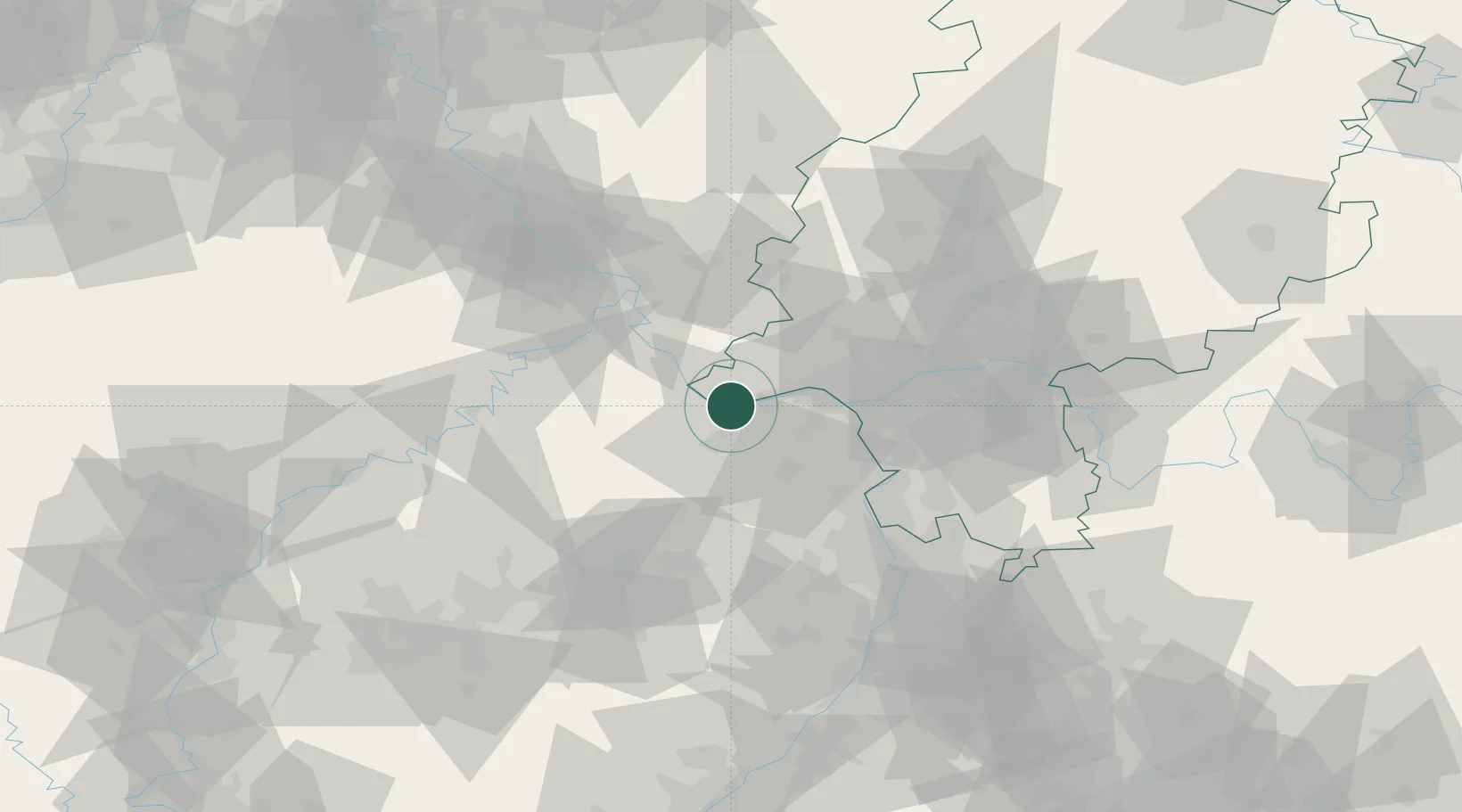
Location
Nearby Logistics Neighbours
Cities
- 1Kempten2 km
- 2Bingen am Rhein3 km
- 3Münster-Sarmsheim4 km
- 4Oestrich-Winkel6 km
- 5Trechtingshausen6 km
Airports
- 1Mainz-Finthen Airfield17 km
- 2Wiesbaden Army Airfield30 km
- 3Frankfurt Main Airport46 km
- 4Frankfurt-Hahn Airport47 km
- 5Frankfurt-Egelsbach Airport52 km
Trade Zones
- 1ZFU La Cité Behren-lès-Forbach115 km
- 2Luxembourg Free Port128 km
- 3Rheinische Revier SWZ150 km
- 4ZFU Hautepierre155 km
- 5ZFU Woippy-Metz158 km
DatabookThe Record of Consolidated Knowledge
Germany beyond logistics?