Transport Functions
Multimodal
Hub Profile
Place type
Local administrative seat
Region
Bavaria
Population
4,077
Time zone
Europe/Berlin
Elevation
414 m
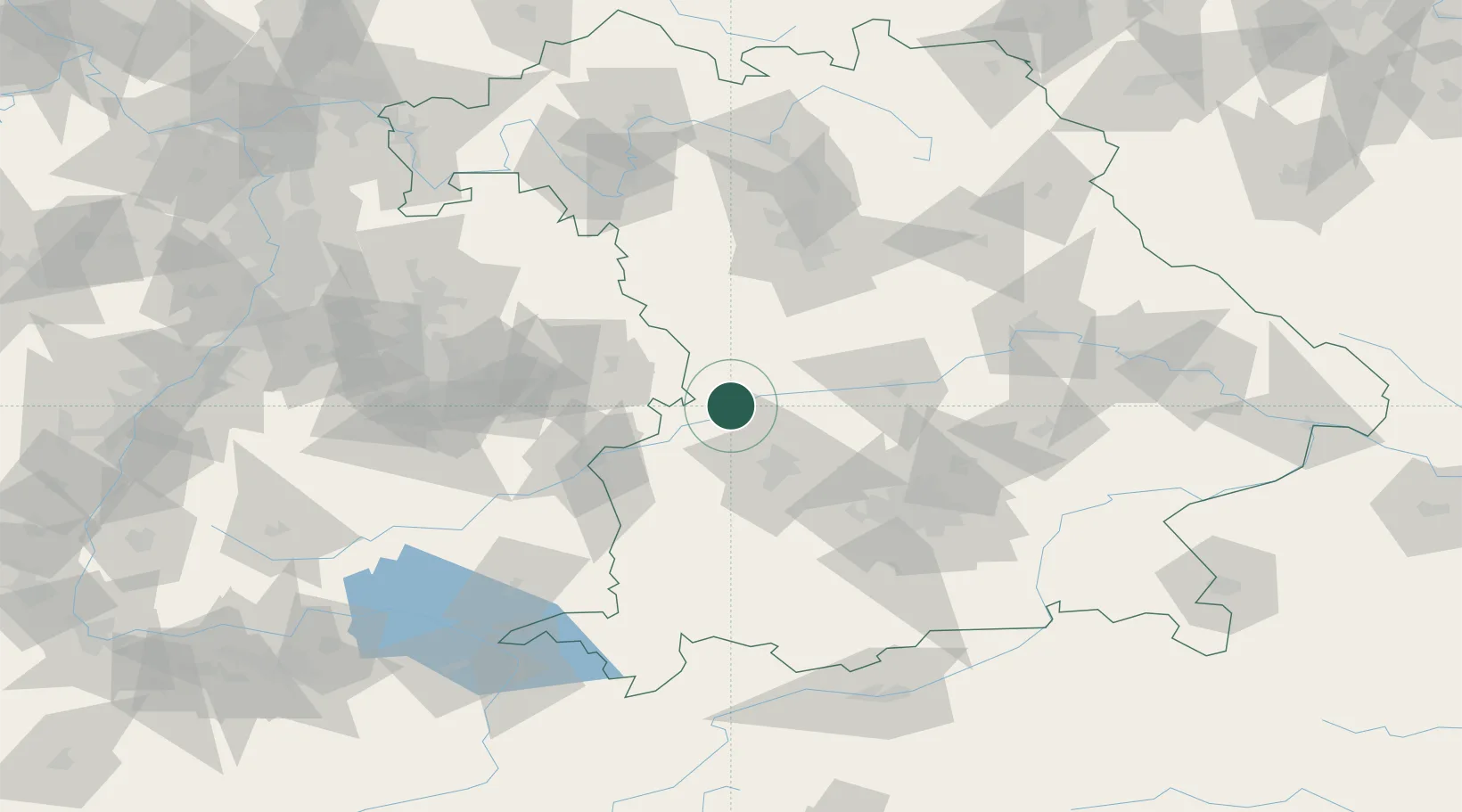
Location
Nearby Logistics Neighbours
Cities
- 1Buttenwiesen8 km
- 2Asbach-Bäumenheim11 km
- 3Nordendorf14 km
- 4Mönchsdeggingen14 km
- 5Genderkingen16 km
Ports
- 1Nogaro374 km
- 2Porto Di Lido-Venezia385 km
- 3Grado385 km
- 4Monfalcone388 km
- 5Porto Di Chioggia401 km
Airports
- 1Augsburg Airport33 km
- 2Neuburg Air Base40 km
- 3Lechfeld Air Base55 km
- 4Altstetten Ultralight Field61 km
- 5Ingolstadt Manching Airport64 km
Trade Zones
- 1Freeport of Deggendorf165 km
- 2ZFU Neuhof214 km
- 3ZFU Hautepierre219 km
- 4Livigno Free Trade Zone241 km
- 5Podbořany Industrial Zone263 km
DatabookThe Record of Consolidated Knowledge
Germany beyond logistics?