Transport Functions
Multimodal
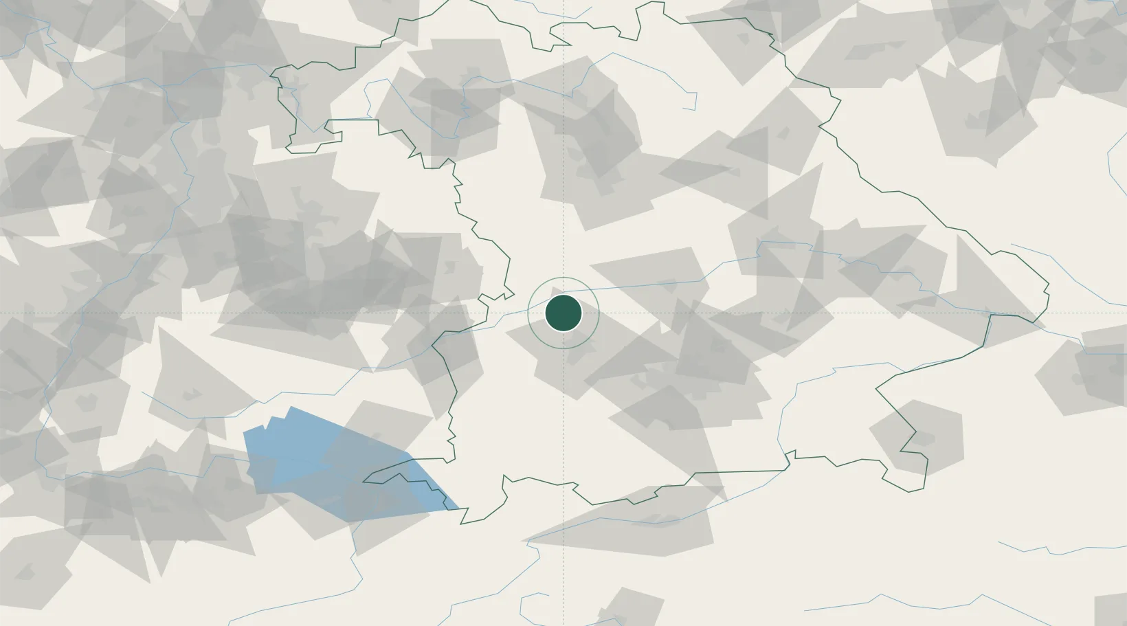
Hub Profile
Place type
Local administrative seat
Region
Bavaria
Population
2,274
Time zone
Europe/Berlin
Elevation
422 m
Location
Nearby Logistics Neighbours
Cities
- 1Buttenwiesen6 km
- 2Thierhaupten9 km
- 3Asbach-Bäumenheim9 km
- 4Langweid12 km
- 5Todtenweis12 km
Ports
- 1Nogaro361 km
- 2Grado372 km
- 3Porto Di Lido-Venezia373 km
- 4Monfalcone374 km
- 5Porto Di Chioggia390 km
Airports
- 1Augsburg Airport20 km
- 2Neuburg Air Base33 km
- 3Lechfeld Air Base45 km
- 4Altstetten Ultralight Field47 km
- 5Ingolstadt Manching Airport56 km
Trade Zones
- 1Freeport of Deggendorf157 km
- 2ZFU Neuhof224 km
- 3ZFU Hautepierre229 km
- 4Livigno Free Trade Zone234 km
- 5Podbořany Industrial Zone263 km
DatabookThe Record of Consolidated Knowledge
Germany beyond logistics?