UN/LOCODE hub · Germany
DEABM
Asbach-Bäumenheim
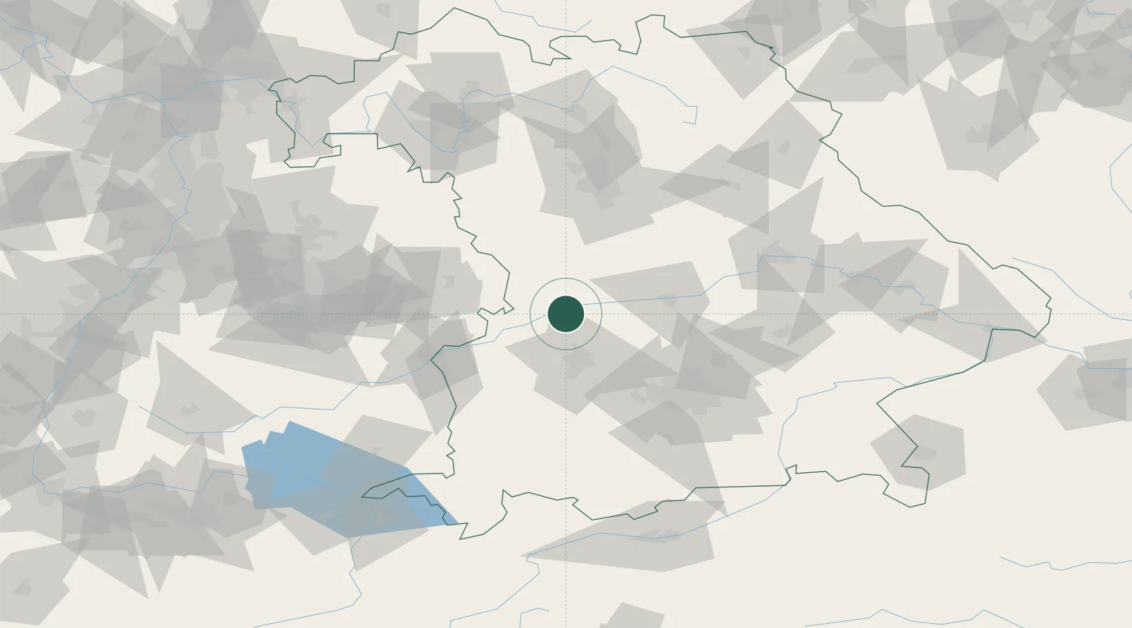
48.6667°, 10.8167°
4,346
Population
2
Transport functions
Transport Functions
Rail
Road
Hub Profile
Place type
Local administrative seat
Region
Bavaria
Population
4,346
Time zone
Europe/Berlin
Elevation
405 m
Location
Nearby Logistics Neighbours
Cities
- 1Genderkingen6 km
- 2Nordendorf9 km
- 3Buttenwiesen10 km
- 4Tapfheim11 km
- 5Buchdorf13 km
Ports
- 1Nogaro369 km
- 2Grado380 km
- 3Monfalcone381 km
- 4Porto Di Lido-Venezia382 km
- 5Porto Di Chioggia398 km
Airports
- 1Augsburg Airport28 km
- 2Neuburg Air Base29 km
- 3Ingolstadt Manching Airport53 km
- 4Altstetten Ultralight Field53 km
- 5Lechfeld Air Base54 km
Trade Zones
- 1Freeport of Deggendorf154 km
- 2ZFU Neuhof225 km
- 3ZFU Hautepierre230 km
- 4Livigno Free Trade Zone243 km
- 5Podbořany Industrial Zone255 km
DatabookThe Record of Consolidated Knowledge
Germany beyond logistics?