Transport Functions
Rail
Road
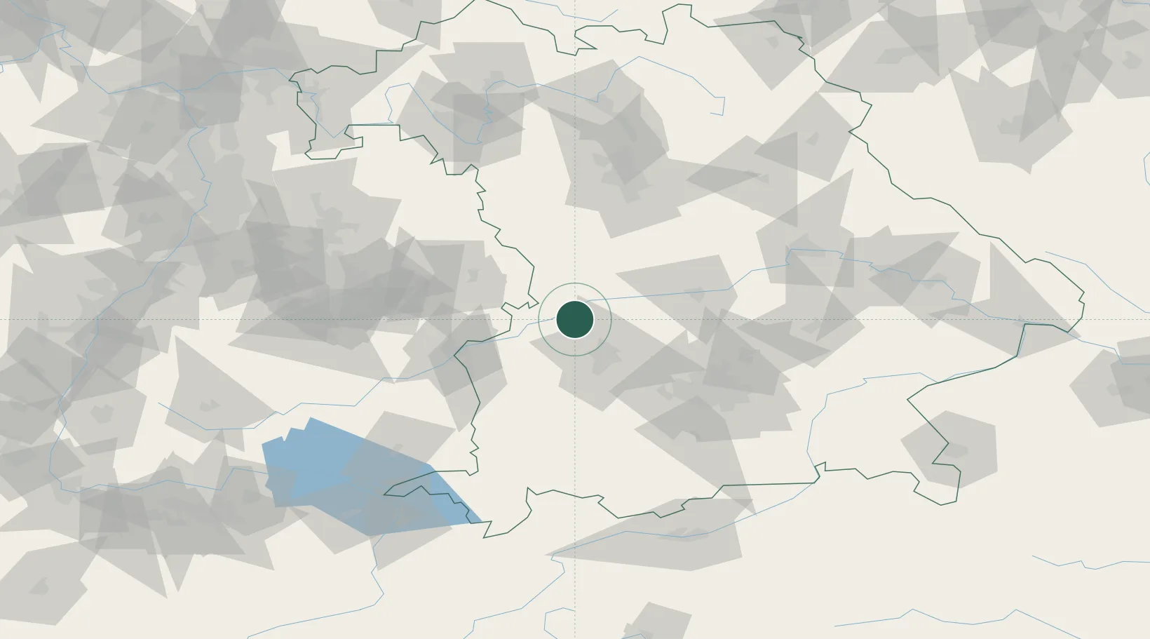
Hub Profile
Place type
Local administrative seat
Region
Bavaria
Population
5,750
Time zone
Europe/Berlin
Elevation
409 m
Location
Nearby Logistics Neighbours
Cities
- 1Nordendorf6 km
- 2Tapfheim8 km
- 3Asbach-Bäumenheim10 km
- 4Emersacker12 km
- 5Heretsried15 km
Ports
- 1Nogaro366 km
- 2Porto Di Lido-Venezia377 km
- 3Grado377 km
- 4Monfalcone379 km
- 5Porto Di Chioggia393 km
Airports
- 1Augsburg Airport25 km
- 2Neuburg Air Base38 km
- 3Lechfeld Air Base47 km
- 4Altstetten Ultralight Field53 km
- 5Ingolstadt Manching Airport61 km
Trade Zones
- 1Freeport of Deggendorf163 km
- 2ZFU Neuhof217 km
- 3ZFU Hautepierre222 km
- 4Livigno Free Trade Zone235 km
- 5Podbořany Industrial Zone266 km
DatabookThe Record of Consolidated Knowledge
Germany beyond logistics?