Transport Functions
Rail
Road
Hub Profile
Place type
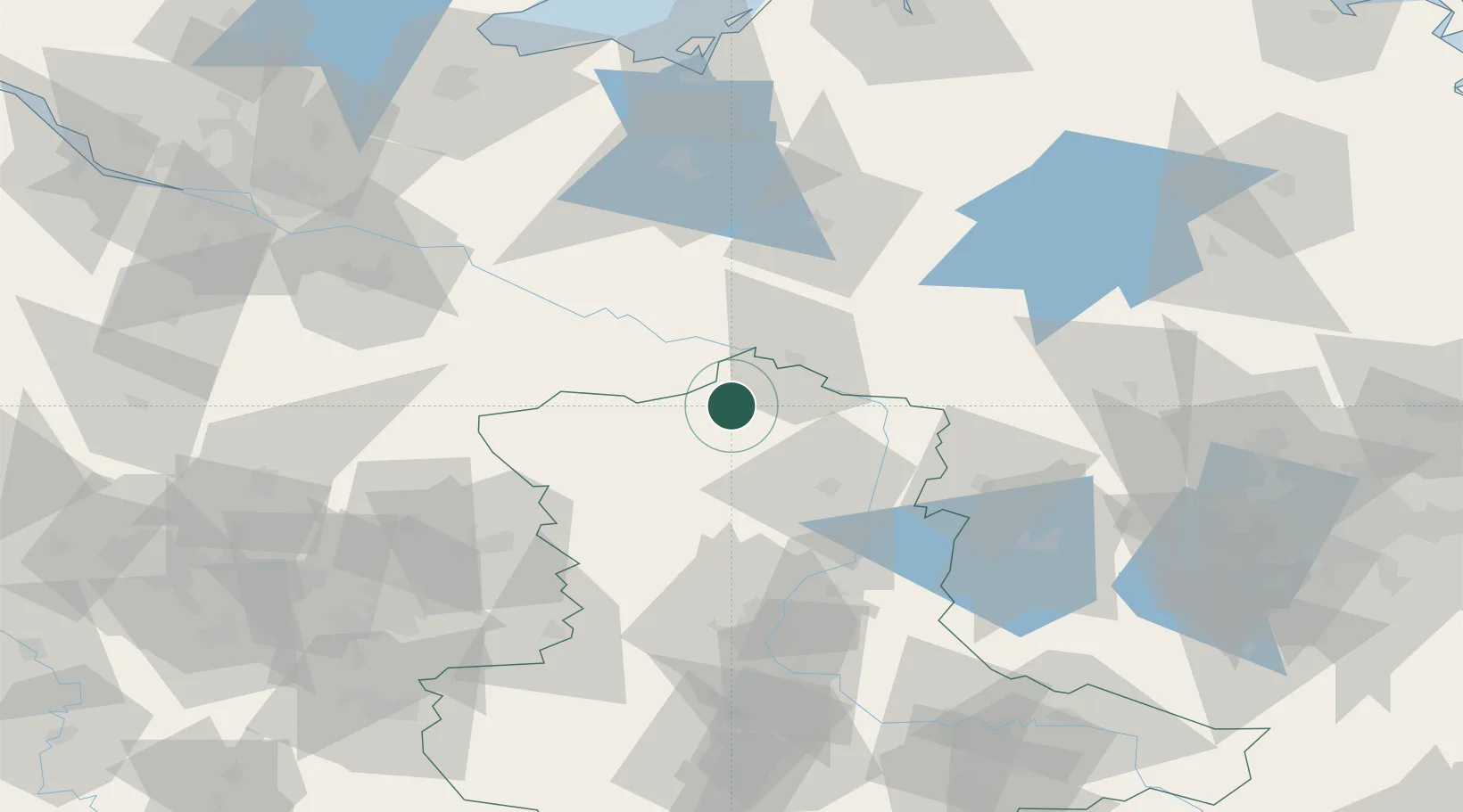
Populated place
Region
Saxony-Anhalt
Population
93
Time zone
Europe/Berlin
Elevation
35 m
Location
Nearby Logistics Neighbours
Cities
- 1Arendsee5 km
- 2Seehausen14 km
- 3Cumlosen18 km
- 4Schnackenburg19 km
- 5Pretzier21 km
Ports
- 1Wismar115 km
- 2Lubeck126 km
- 3Lubeck-Travemunde130 km
- 4Hamburg132 km
- 5Rostock143 km
Airports
- 1Braunschweig-Wolfsburg Airport91 km
- 2Faßberg Air Base92 km
- 3Zerbst Airfield105 km
- 4Celle Army Airfield107 km
- 5Lübeck Blankensee Airport118 km
Trade Zones
- 1Freeport of Kiel187 km
- 2Freeport of Bremerhaven (Freihafen Bremerhaven)188 km
- 3Kostrzyń-Słubice SEZ210 km
- 4Szczecin Duty Free Zone211 km
- 5Swinoujscie Duty Free Zone214 km
DatabookThe Record of Consolidated Knowledge
Germany beyond logistics?