UN/LOCODE hub · Germany
DEANW

Aldenhoven

50.9000°, 6.2833°
7,364
Population
1
Transport functions

Transport Functions

Multimodal
UN/LOCODE

Hub Profile

Place type
Local administrative seat
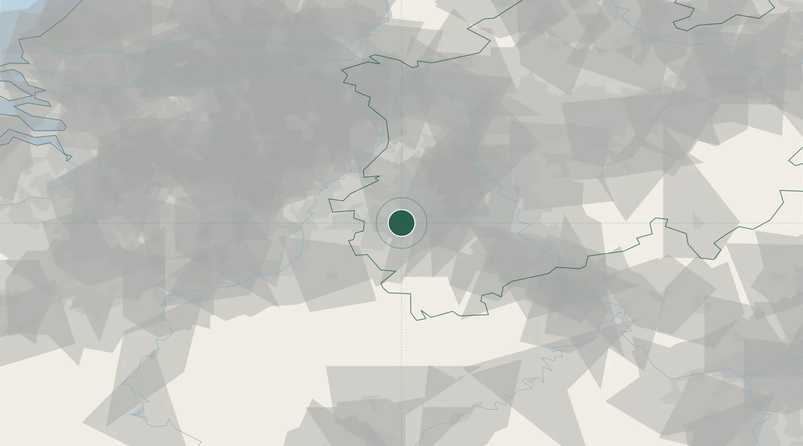
GeoNames
Region
North Rhine-Westphalia
GeoNames
Population
7,364
GeoNames
Time zone
Europe/Berlin
GeoNames
Elevation
111 m
GeoNames

Location

Location of DEANW
Natural Earth 10m (public domain) · North Rhine-Westphalia · DEANW · 50.90, 6.28GoogleOSMYandex

Nearby Logistics Neighbours

Cities
  1. 1Inden6 km
  2. 2Baesweiler7 km
  3. 3Alsdorf8 km
  4. 4Eschweiler9 km
  5. 5Langerwehe10 km
Nearest neighbours — logibook spatial index (haversine) over the source coordinates
Ports
  1. 1Bruxelles136 km
  2. 2Antwerpen136 km
  3. 3Dordrecht153 km
  4. 4Rotterdam167 km
  5. 5Hansweert171 km
Nearest neighbours — logibook spatial index (haversine) over the source coordinates
Airports
  1. 1Geilenkirchen Air Base18 km
  2. 2Nörvenich Air Base27 km
  3. 3Maastricht Aachen Airport36 km
  4. 4Mönchengladbach Airport40 km
  5. 5Düsseldorf Airport55 km
Nearest neighbours — logibook spatial index (haversine) over the source coordinates
Trade Zones
  1. 1Rheinische Revier SWZ7 km
  2. 2Freeport of Duisburg64 km
  3. 3Luxembourg Free Port140 km
  4. 4ZFU Ronde Couture170 km
  5. 5ZFU Woippy-Metz195 km
Nearest neighbours — logibook spatial index (haversine) over the source coordinates
DatabookThe Record of Consolidated Knowledge
Germany beyond logistics?
Browse databook

All Sources

LocationsUN/LOCODE
UN/LOCODE — free
LocationsGeoNames
CC BY 4.0
Portsthe NGA World Port Index
Public domain (US gov)
AirportsOurAirports
Public domain
Trade Zonesthe World Bank SEZ database
CC BY 4.0
Trade ZonesOpen Zone Map
CC BY
← Germany locations