Transport Functions
Rail
Road
Hub Profile
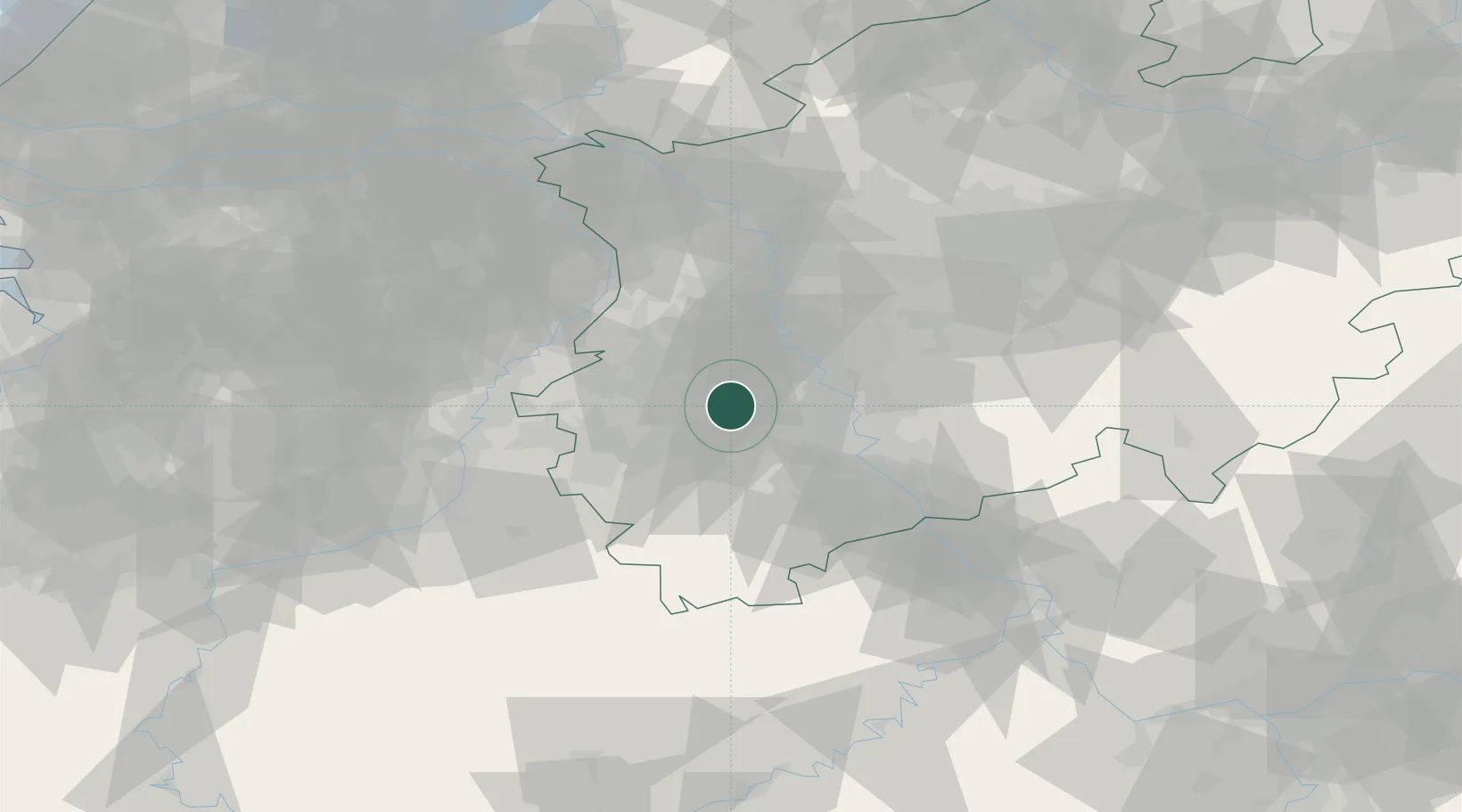
Place type
Populated place
Region
North Rhine-Westphalia
Population
24,937
Time zone
Europe/Berlin
Elevation
62 m
Location
Nearby Logistics Neighbours
Cities
- 1Bergheim7 km
- 2Elsdorf7 km
- 3Rommerskirchen9 km
- 4Titz11 km
- 5Jüchen12 km
Airports
- 1Nörvenich Air Base20 km
- 2Mönchengladbach Airport26 km
- 3Düsseldorf Airport35 km
- 4Geilenkirchen Air Base37 km
- 5Cologne Bonn Airport43 km
Trade Zones
- 1Rheinische Revier SWZ17 km
- 2Freeport of Duisburg50 km
- 3Luxembourg Free Port153 km
- 4ZFU Ronde Couture191 km
- 5ZFU La Cité Behren-lès-Forbach205 km
DatabookThe Record of Consolidated Knowledge
Germany beyond logistics?