Transport Functions
Multimodal
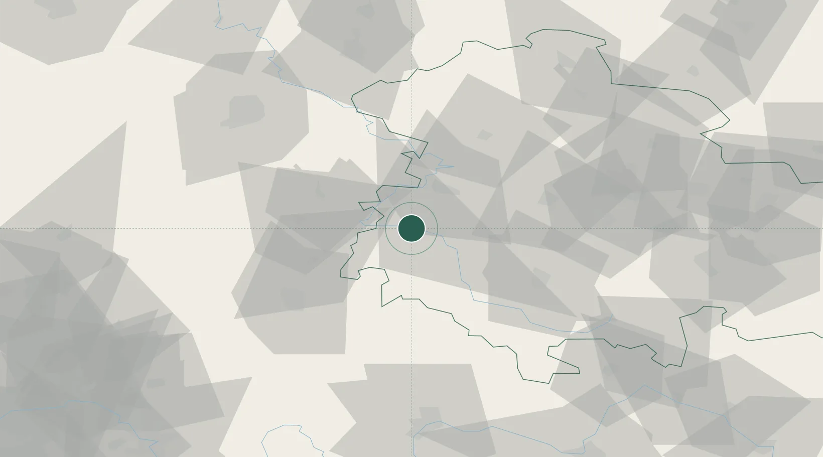
Hub Profile
Place type
Local administrative seat
Region
Thuringia
Population
4,268
Time zone
Europe/Berlin
Elevation
238 m
Location
Nearby Logistics Neighbours
Cities
- 1Dorndorf7 km
- 2Stadtlengsfeld8 km
- 3Barchfeld10 km
- 4Förtha12 km
- 5Heringen13 km
Airports
- 1Eisenach-Kindel Airport28 km
- 2Erfurt-Weimar Airport58 km
- 3Fritzlar Army Airfield69 km
- 4Kassel Airport85 km
- 5Bamberg-Breitenau Airfield115 km
Trade Zones
- 1Podbořany Industrial Zone239 km
- 2Žatec - Triangle Strategic Industrial Zone242 km
- 3Most - Joseph Industrial Zone248 km
- 4Freeport of Duisburg259 km
- 5Rheinische Revier SWZ266 km
DatabookThe Record of Consolidated Knowledge
Germany beyond logistics?