Transport Functions
Rail
Road
Hub Profile
Region
TH
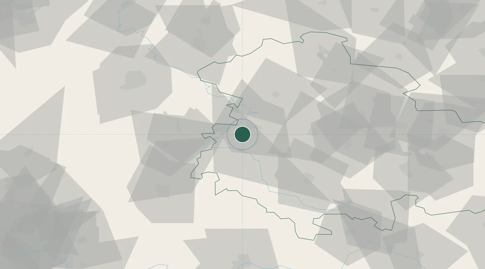
Location
Nearby Logistics Neighbours
Cities
- 1Gerstungen12 km
- 2Tiefenort12 km
- 3Hörselberg13 km
- 4Dorndorf16 km
- 5Barchfeld17 km
Airports
- 1Eisenach-Kindel Airport18 km
- 2Erfurt-Weimar Airport51 km
- 3Fritzlar Army Airfield69 km
- 4Kassel Airport80 km
- 5Bamberg-Breitenau Airfield123 km
Trade Zones
DatabookThe Record of Consolidated Knowledge
Germany beyond logistics?