Transport Functions
Rail
Road
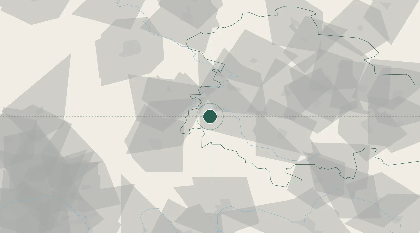
Hub Profile
Place type
Populated place
Region
Thuringia
Population
2,698
Time zone
Europe/Berlin
Elevation
278 m
Location
Nearby Logistics Neighbours
Cities
- 1Dorndorf8 km
- 2Tiefenort8 km
- 3Barchfeld12 km
- 4Breitungen15 km
- 5Heringen15 km
Airports
- 1Eisenach-Kindel Airport36 km
- 2Erfurt-Weimar Airport64 km
- 3Fritzlar Army Airfield70 km
- 4Kassel Airport88 km
- 5Bamberg-Breitenau Airfield110 km
Trade Zones
- 1Podbořany Industrial Zone240 km
- 2Žatec - Triangle Strategic Industrial Zone244 km
- 3Most - Joseph Industrial Zone251 km
- 4Freeport of Duisburg258 km
- 5Rheinische Revier SWZ263 km
DatabookThe Record of Consolidated Knowledge
Germany beyond logistics?