Transport Functions
Rail
Road
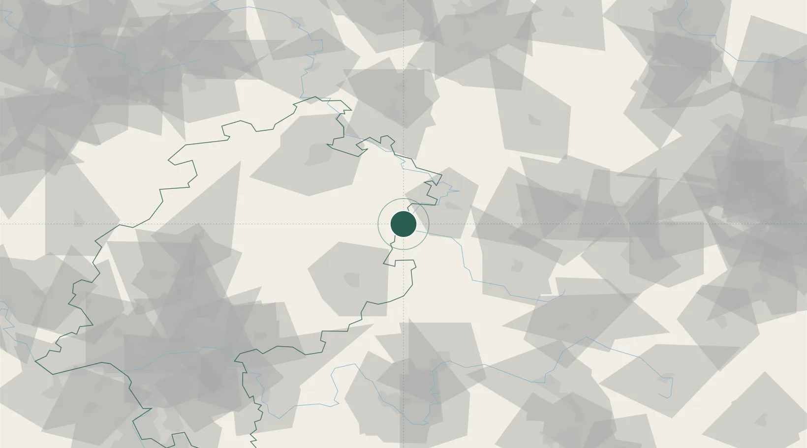
Hub Profile
Place type
Populated place
Region
Hesse
Population
7,146
Time zone
Europe/Berlin
Elevation
229 m
Location
Nearby Logistics Neighbours
Cities
- 1Dorndorf7 km
- 2Gerstungen9 km
- 3Tiefenort13 km
- 4Stadtlengsfeld15 km
- 5Förtha17 km
Airports
- 1Eisenach-Kindel Airport36 km
- 2Fritzlar Army Airfield56 km
- 3Erfurt-Weimar Airport68 km
- 4Kassel Airport73 km
- 5Bamberg-Breitenau Airfield125 km
Trade Zones
DatabookThe Record of Consolidated Knowledge
Germany beyond logistics?