Transport Functions
Rail
Road
Hub Profile
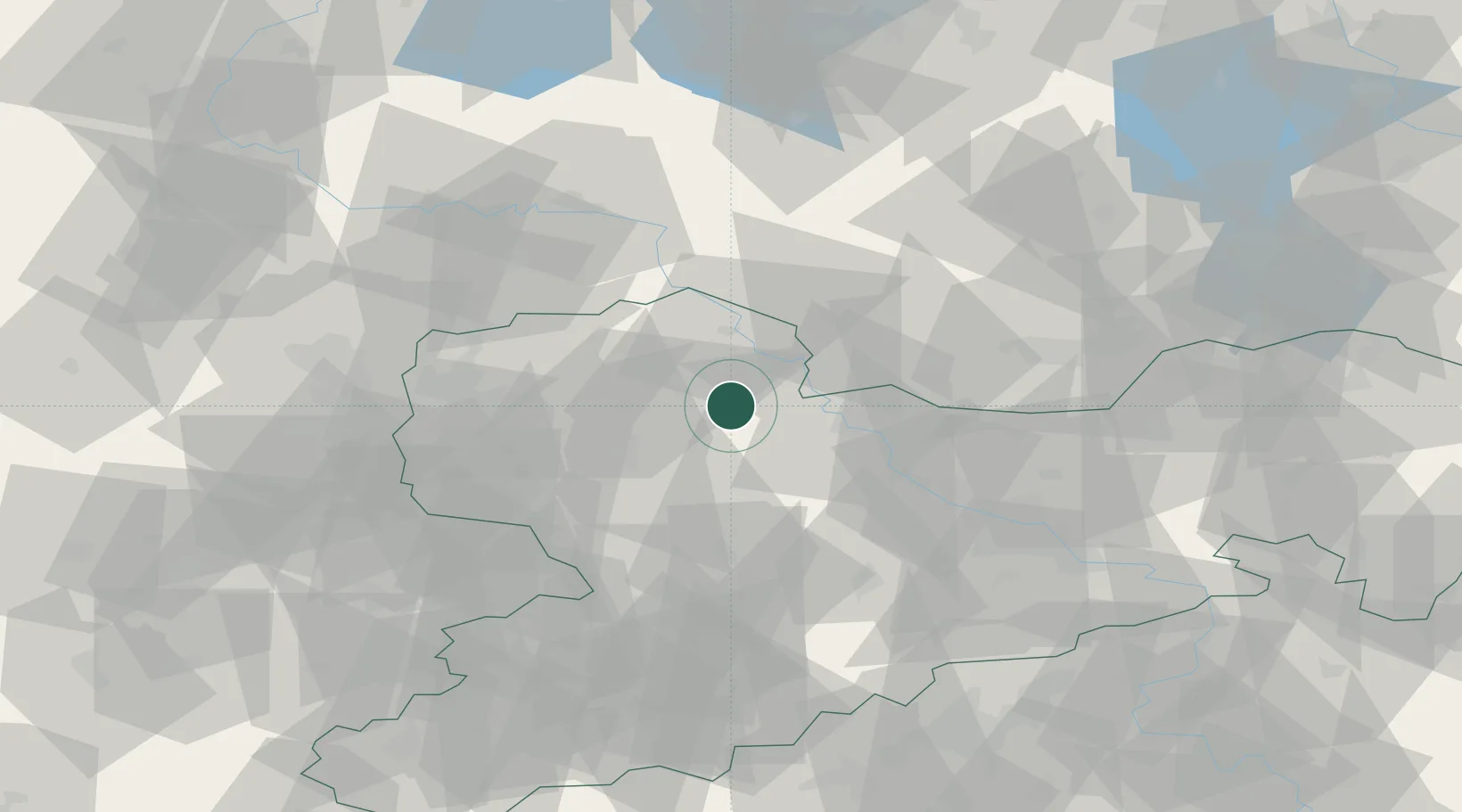
Place type
Populated place
Region
Saxony
Population
5,211
Time zone
Europe/Berlin
Elevation
146 m
Location
Nearby Logistics Neighbours
Cities
- 1Kabelsketal7 km
- 2Falkenhain10 km
- 3Hohburg15 km
- 4Kühren Burkartshain15 km
- 5Strehla/Elbe15 km
Ports
- 1Szczecin251 km
- 2Police267 km
- 3Swinoujscie296 km
- 4Wismar300 km
- 5Wolgast303 km
Airports
- 1Holzdorf Air Base46 km
- 2Leipzig/Halle Airport54 km
- 3Leipzig–Altenburg Airport55 km
- 4Dresden Airport59 km
- 5Zerbst Airfield92 km
Trade Zones
DatabookThe Record of Consolidated Knowledge
Germany beyond logistics?