Transport Functions
Rail
Road
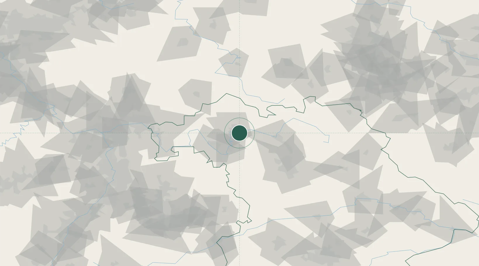
Hub Profile
Place type
Local administrative seat
Region
Bavaria
Population
4,106
Time zone
Europe/Berlin
Elevation
237 m
Location
Nearby Logistics Neighbours
Cities
- 1Donnersdorf7 km
- 2Schweinfurt9 km
- 3Bergrheinfeld10 km
- 4Wonfurt11 km
- 5Wipfeld13 km
Airports
- 1Bamberg-Breitenau Airfield43 km
- 2Niederstetten Army Air Base71 km
- 3Nuremberg Airport77 km
- 4Bayreuth Airport95 km
- 5Adolf Würth Airport104 km
Trade Zones
- 1Podbořany Industrial Zone222 km
- 2Freeport of Deggendorf226 km
- 3Žatec - Triangle Strategic Industrial Zone233 km
- 4Most - Joseph Industrial Zone243 km
- 5ZFU Hautepierre245 km
DatabookThe Record of Consolidated Knowledge
Germany beyond logistics?