Transport Functions
Road
Multimodal
Hub Profile
Place type
Local administrative seat
Region
Bavaria
Population
1,955
Time zone
Europe/Berlin
Elevation
219 m
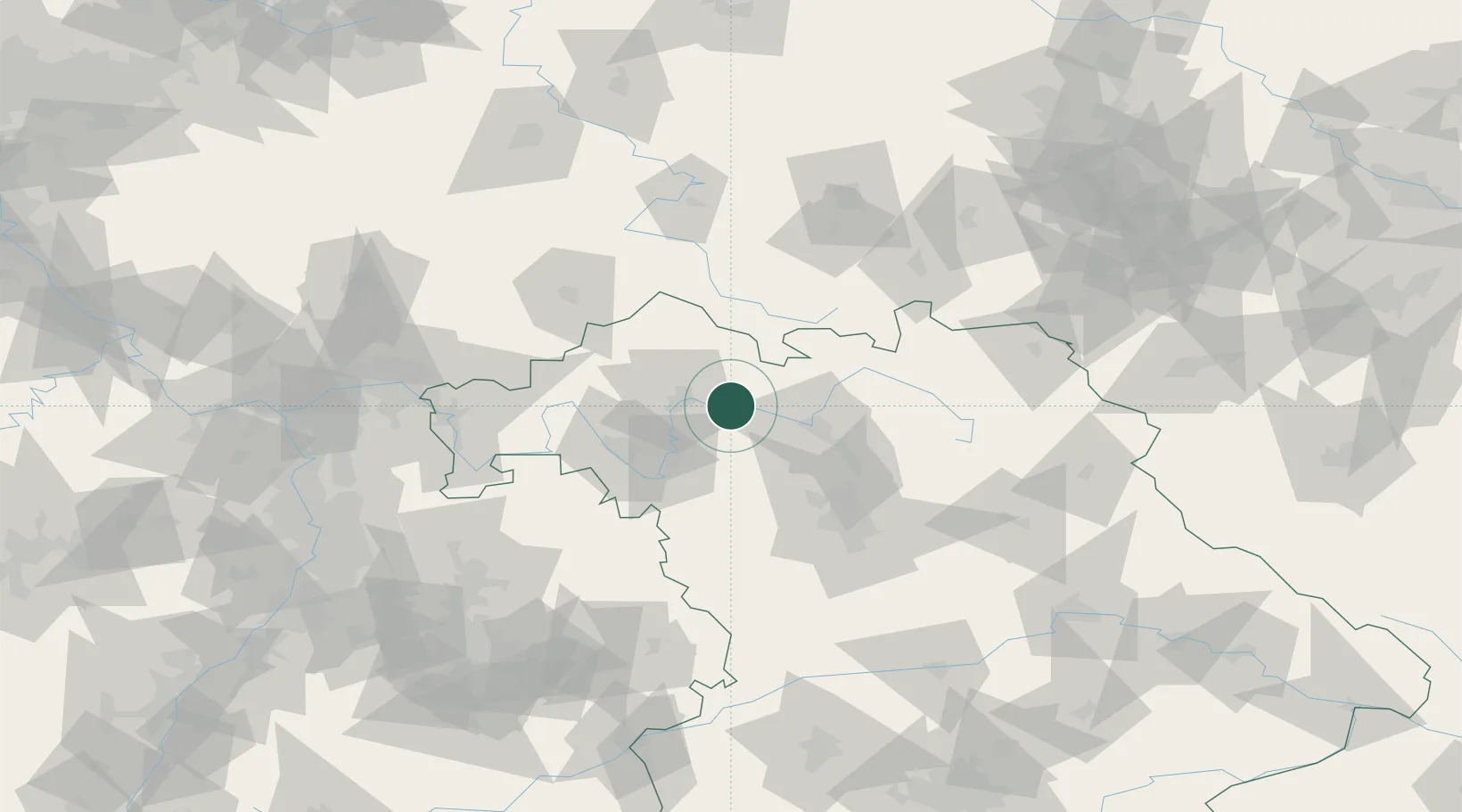
Location
Nearby Logistics Neighbours
Cities
- 1Donnersdorf7 km
- 2Knetzgau7 km
- 3Königsberg in Bayern10 km
- 4Grettstadt11 km
- 5Hofheim in Unterfranken14 km
Airports
- 1Bamberg-Breitenau Airfield34 km
- 2Nuremberg Airport72 km
- 3Niederstetten Army Air Base79 km
- 4Bayreuth Airport84 km
- 5Hof-Plauen Airport103 km
Trade Zones
- 1Podbořany Industrial Zone211 km
- 2Freeport of Deggendorf219 km
- 3Žatec - Triangle Strategic Industrial Zone222 km
- 4Most - Joseph Industrial Zone232 km
- 5ZFU Neuhof256 km
DatabookThe Record of Consolidated Knowledge
Germany beyond logistics?