Transport Functions
Multimodal
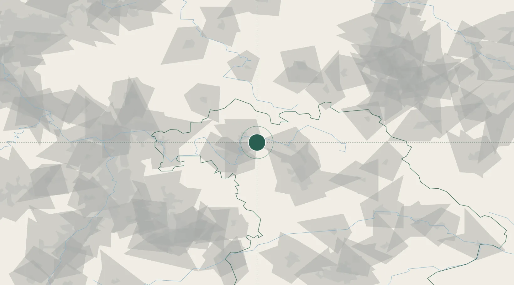
Hub Profile
Place type
Local administrative seat
Region
Bavaria
Population
1,938
Time zone
Europe/Berlin
Elevation
252 m
Location
Nearby Logistics Neighbours
Cities
- 1Wonfurt7 km
- 2Grettstadt7 km
- 3Knetzgau10 km
- 4Ebrach16 km
- 5Schweinfurt16 km
Airports
- 1Bamberg-Breitenau Airfield36 km
- 2Nuremberg Airport71 km
- 3Niederstetten Army Air Base72 km
- 4Bayreuth Airport88 km
- 5Adolf Würth Airport105 km
Trade Zones
- 1Podbořany Industrial Zone215 km
- 2Freeport of Deggendorf219 km
- 3Žatec - Triangle Strategic Industrial Zone226 km
- 4Most - Joseph Industrial Zone237 km
- 5ZFU Neuhof249 km
DatabookThe Record of Consolidated Knowledge
Germany beyond logistics?