Transport Functions
Port
Rail
Road
Hub Profile
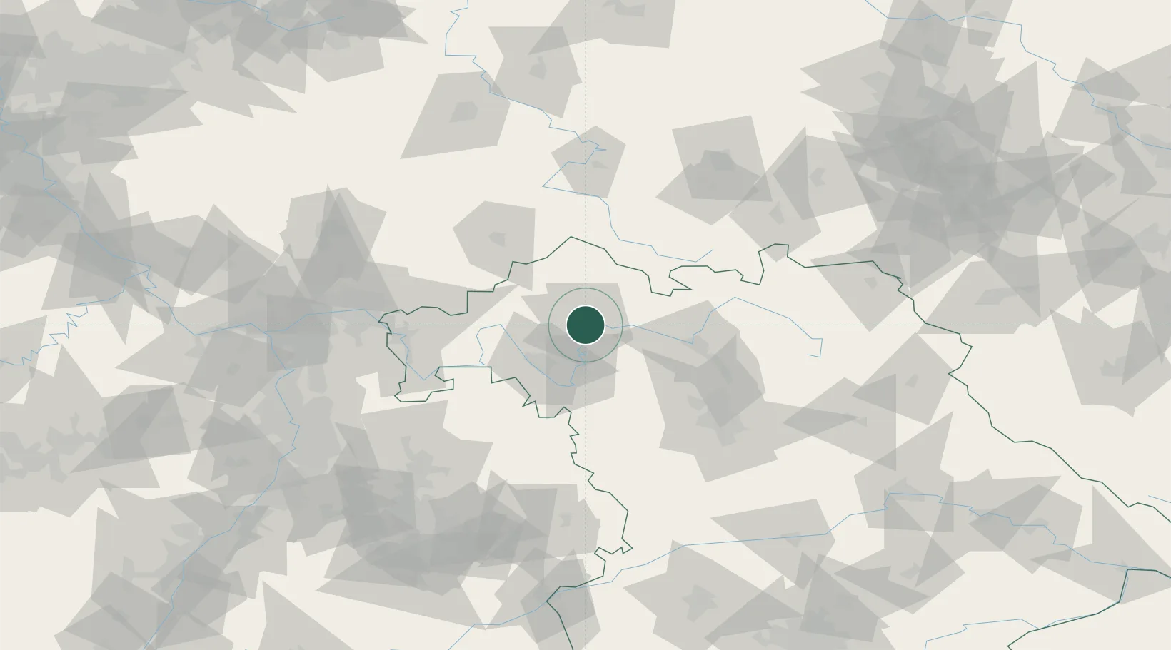
Place type
District seat
Region
Bavaria
Population
54,012
Time zone
Europe/Berlin
Elevation
250 m
Logistics facilities
2
Location
Nearby Logistics Neighbours
Cities
- 1Bergrheinfeld4 km
- 2Geldersheim5 km
- 3Oberwerrn5 km
- 4Ettleben8 km
- 5Grettstadt9 km
Airports
- 1Bamberg-Breitenau Airfield52 km
- 2Niederstetten Army Air Base74 km
- 3Nuremberg Airport86 km
- 4Bayreuth Airport102 km
- 5Adolf Würth Airport107 km
Trade Zones
- 1Podbořany Industrial Zone228 km
- 2Freeport of Deggendorf235 km
- 3Žatec - Triangle Strategic Industrial Zone239 km
- 4ZFU Hautepierre243 km
- 5ZFU Neuhof243 km
DatabookThe Record of Consolidated Knowledge
Germany beyond logistics?